
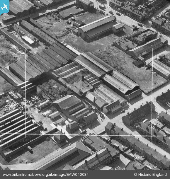
EAW040034 ENGLAND (1951). The W. Smith & Co Steel Wire Works, Owlerton, 1951. This image was marked by Aerofilms Ltd for photo editing.
© Copyright OpenStreetMap contributors and licensed by the OpenStreetMap Foundation. 2024. Cartography is licensed as CC BY-SA.
Nearby Images (33)
EAW040034

EAW040037

EAW040039

EAW040035

EAW040038

EAW037577

EAW040036

EAW028028
, Owlerton, 1950. This image has been produced from a print marked by Aerofilms Ltd for photo editing.")
EAW028021
, Owlerton, 1950. This image has been produced from a damaged negative.")
EAW028023
, Owlerton, 1950. This image has been produced from a print marked by Aerofilms Ltd for photo editing.")
EAW037576

EAW028027
, Owlerton, 1950. This image has been produced from a print marked by Aerofilms Ltd for photo editing.")
EAW028022
, Owlerton, 1950. This image has been produced from a print marked by Aerofilms Ltd for photo editing.")
EAW028024
, Owlerton, 1950. This image has been produced from a print marked by Aerofilms Ltd for photo editing.")
EAW037584

EAW028026
, Owlerton, 1950. This image has been produced from a print marked by Aerofilms Ltd for photo editing.")
EAW037579

EAW037582

EAW028029
, Owlerton, 1950. This image has been produced from a print marked by Aerofilms Ltd for photo editing.")
EAW028025
, Owlerton, 1950. This image has been produced from a print marked by Aerofilms Ltd for photo editing.")
EAW037580

EAW037581

EAW028020
, Owlerton, 1950. This image has been produced from a damaged negative.")
EPW048669

EAW037583

EAW037578

EPW048671

EPW048668

EPW048675

EPW048674

EPW048670

EPW048672

EPW048673

Details
| Title | [EAW040034] The W. Smith & Co Steel Wire Works, Owlerton, 1951. This image was marked by Aerofilms Ltd for photo editing. |
| Reference | EAW040034 |
| Date | 17-September-1951 |
| Link | |
| Place name | OWLERTON |
| Parish | |
| District | |
| Country | ENGLAND |
| Easting / Northing | 433671, 390184 |
| Longitude / Latitude | -1.4934460704436, 53.407136398328 |
| National Grid Reference | SK337902 |
Pins
Be the first to add a comment to this image!


