
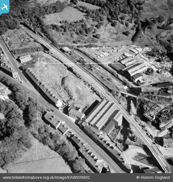
EAW039801 ENGLAND (1951). Lee Mill, Bacup, 1951.This image was marked by Aerofilms Ltd for photo editing.
© Copyright OpenStreetMap contributors and licensed by the OpenStreetMap Foundation. 2024. Cartography is licensed as CC BY-SA.
Nearby Images (3)
EAW039801

EAW039802

EAW039800

Details
| Title | [EAW039801] Lee Mill, Bacup, 1951.This image was marked by Aerofilms Ltd for photo editing. |
| Reference | EAW039801 |
| Date | 15-September-1951 |
| Link | |
| Place name | BACUP |
| Parish | |
| District | |
| Country | ENGLAND |
| Easting / Northing | 386373, 421870 |
| Longitude / Latitude | -2.2063925217963, 53.69287058254 |
| National Grid Reference | SD864219 |
Pins
 ssShaunW1 |
Tuesday 8th of December 2020 07:07:08 PM |


