
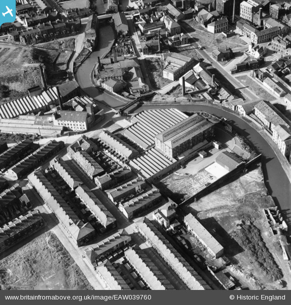
EAW039760 ENGLAND (1951). Healey Royd Mill, Burnley, 1951
© Copyright OpenStreetMap contributors and licensed by the OpenStreetMap Foundation. 2024. Cartography is licensed as CC BY-SA.
Nearby Images (11)
EAW039760

EAW039758

EAW039764

EAW039762

EAW039763

EAW039759

EAW039756

EAW039761

EAW039757

EPW013172

EAW039755

Details
| Title | [EAW039760] Healey Royd Mill, Burnley, 1951 |
| Reference | EAW039760 |
| Date | 15-September-1951 |
| Link | |
| Place name | BURNLEY |
| Parish | |
| District | |
| Country | ENGLAND |
| Easting / Northing | 384045, 432044 |
| Longitude / Latitude | -2.2421769198351, 53.784258958406 |
| National Grid Reference | SD840320 |
Pins
Be the first to add a comment to this image!


