
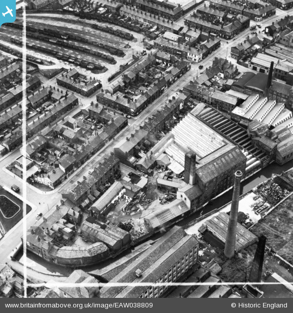
EAW038809 ENGLAND (1951). Fir Mill off Whalley Banks, Blackburn, 1951. This image has been produced from a print marked by Aerofilms Ltd for photo editing.
© Copyright OpenStreetMap contributors and licensed by the OpenStreetMap Foundation. 2024. Cartography is licensed as CC BY-SA.
Nearby Images (9)
EAW038809

EAW038810

EAW038807

EAW038808

EAW038811

EAW038806

EAW038803

EAW038804

EAW038805

Details
| Title | [EAW038809] Fir Mill off Whalley Banks, Blackburn, 1951. This image has been produced from a print marked by Aerofilms Ltd for photo editing. |
| Reference | EAW038809 |
| Date | 15-August-1951 |
| Link | |
| Place name | BLACKBURN |
| Parish | |
| District | |
| Country | ENGLAND |
| Easting / Northing | 367659, 427652 |
| Longitude / Latitude | -2.4904281301135, 53.744020220675 |
| National Grid Reference | SD677277 |
Pins
Be the first to add a comment to this image!


