
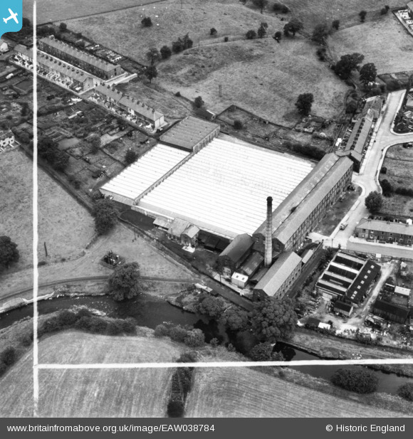
EAW038784 ENGLAND (1951). Lower Clough Mill, Barrowford, 1951. This image has been produced from a print marked by Aerofilms Ltd for photo editing.
© Copyright OpenStreetMap contributors and licensed by the OpenStreetMap Foundation. 2024. Cartography is licensed as CC BY-SA.
Nearby Images (8)
EAW038784

EAW038779

EAW038781

EAW038783

EAW038782

EAW038780

EAW038786

EAW038785

Details
| Title | [EAW038784] Lower Clough Mill, Barrowford, 1951. This image has been produced from a print marked by Aerofilms Ltd for photo editing. |
| Reference | EAW038784 |
| Date | 15-August-1951 |
| Link | |
| Place name | BARROWFORD |
| Parish | BARROWFORD |
| District | |
| Country | ENGLAND |
| Easting / Northing | 385373, 438923 |
| Longitude / Latitude | -2.2223467601016, 53.846132750183 |
| National Grid Reference | SD854389 |
Pins
Be the first to add a comment to this image!


