
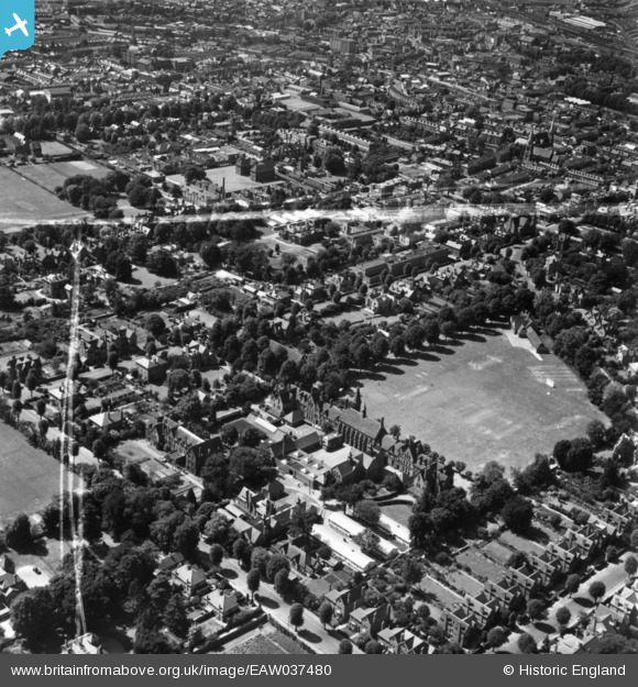
EAW037480 ENGLAND (1951). Reading School and environs, Reading, 1951. This image has been produced from a print marked by Aerofilms Ltd for photo editing.
© Copyright OpenStreetMap contributors and licensed by the OpenStreetMap Foundation. 2024. Cartography is licensed as CC BY-SA.
Nearby Images (18)
EAW037480

EAW037476

EAW037478

EAW037475

EAW037479

EAW037477

EPW005927

EAW037481

EPW005929

EPW005931

EPW005930

EPW005928

EAW037482

EAW037483

EPW000866

EPW022518

EPW000872

EPW037491

Details
| Title | [EAW037480] Reading School and environs, Reading, 1951. This image has been produced from a print marked by Aerofilms Ltd for photo editing. |
| Reference | EAW037480 |
| Date | 2-July-1951 |
| Link | |
| Place name | READING |
| Parish | |
| District | |
| Country | ENGLAND |
| Easting / Northing | 472633, 172746 |
| Longitude / Latitude | -0.9546703768982, 51.448547311877 |
| National Grid Reference | SU726727 |
Pins
 Edward Hammond |
Thursday 17th of June 2021 03:30:28 PM |


