
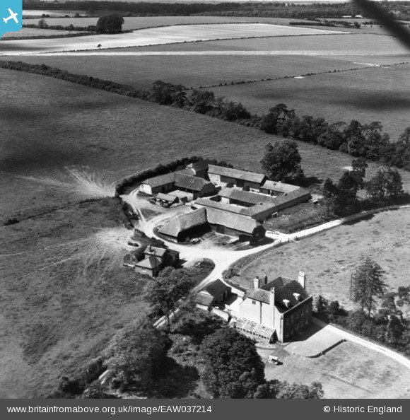
EAW037214 ENGLAND (1951). Manor Farm, Old Alresford, 1951. This image has been produced from a print marked by Aerofilms Ltd for photo editing.
© Copyright OpenStreetMap contributors and licensed by the OpenStreetMap Foundation. 2024. Cartography is licensed as CC BY-SA.
Nearby Images (8)
EAW037214

EAW037213

EAW037212

EAW037215

EAW040894

EAW040889

EAW040895

EAW040893

Details
| Title | [EAW037214] Manor Farm, Old Alresford, 1951. This image has been produced from a print marked by Aerofilms Ltd for photo editing. |
| Reference | EAW037214 |
| Date | 13-June-1951 |
| Link | |
| Place name | OLD ALRESFORD |
| Parish | OLD ALRESFORD |
| District | |
| Country | ENGLAND |
| Easting / Northing | 458445, 133855 |
| Longitude / Latitude | -1.1651988642469, 51.100486309797 |
| National Grid Reference | SU584339 |
Pins
Be the first to add a comment to this image!


