
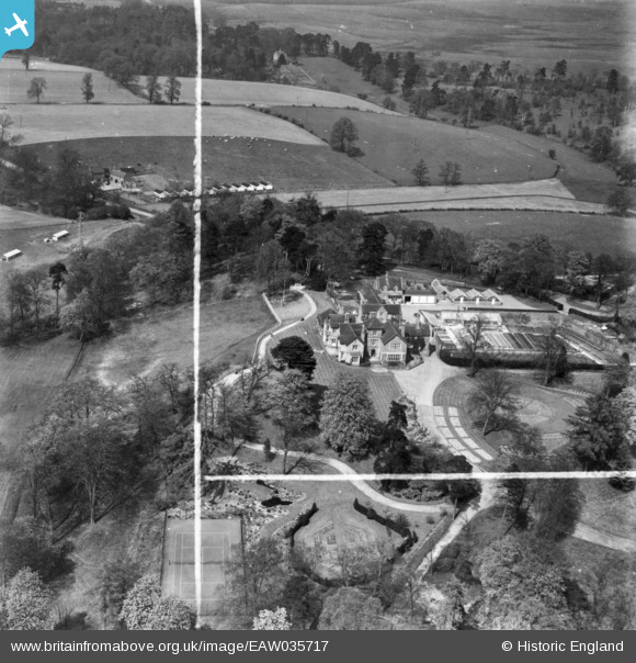
EAW035717 ENGLAND (1951). Heathlands, Kinver, 1951. This image has been produced from a print marked by Aerofilms Ltd for photo editing.
© Copyright OpenStreetMap contributors and licensed by the OpenStreetMap Foundation. 2024. Cartography is licensed as CC BY-SA.
Nearby Images (13)
EAW035717

EAW035715

EAW029814

EAW029819

EAW029820

EAW029815

EAW035716

EAW029816

EAW029818

EAW035718

EAW035719

EAW029817

EAW035720

Details
| Title | [EAW035717] Heathlands, Kinver, 1951. This image has been produced from a print marked by Aerofilms Ltd for photo editing. |
| Reference | EAW035717 |
| Date | 11-May-1951 |
| Link | |
| Place name | KINVER |
| Parish | KINVER |
| District | |
| Country | ENGLAND |
| Easting / Northing | 383466, 285134 |
| Longitude / Latitude | -2.2433881475394, 52.463527738958 |
| National Grid Reference | SO835851 |
Pins
Be the first to add a comment to this image!


