
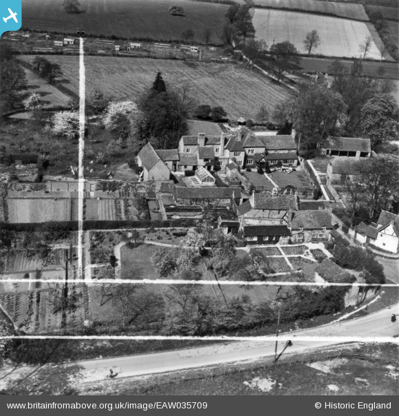
EAW035709 ENGLAND (1951). Bearley Manor, Bearley, 1951. This image has been produced from a print marked by Aerofilms Ltd for photo editing.
© Copyright OpenStreetMap contributors and licensed by the OpenStreetMap Foundation. 2024. Cartography is licensed as CC BY-SA.
Nearby Images (6)
EAW035709

EAW035714

EAW035710

EAW035711

EAW035712

EAW035713

Details
| Title | [EAW035709] Bearley Manor, Bearley, 1951. This image has been produced from a print marked by Aerofilms Ltd for photo editing. |
| Reference | EAW035709 |
| Date | 11-May-1951 |
| Link | |
| Place name | BEARLEY |
| Parish | BEARLEY |
| District | |
| Country | ENGLAND |
| Easting / Northing | 418139, 260623 |
| Longitude / Latitude | -1.7343105510587, 52.243095831411 |
| National Grid Reference | SP181606 |
Pins
 Matt Aldred edob.mattaldred.com |
Thursday 14th of March 2024 01:48:20 PM |


