
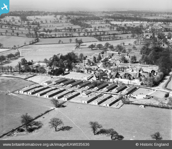
EAW035636 ENGLAND (1951). Clare Hall Hospital and environs, South Mimms, from the north-east, 1951
© Copyright OpenStreetMap contributors and licensed by the OpenStreetMap Foundation. 2024. Cartography is licensed as CC BY-SA.
Nearby Images (9)
EAW035636

EAW035633

EAW035631

EAW035629

EAW035632

EAW011952

EAW035634

EAW035637

EAW035635

Details
| Title | [EAW035636] Clare Hall Hospital and environs, South Mimms, from the north-east, 1951 |
| Reference | EAW035636 |
| Date | 25-April-1951 |
| Link | |
| Place name | SOUTH MIMMS |
| Parish | SOUTH MIMMS |
| District | |
| Country | ENGLAND |
| Easting / Northing | 522084, 200404 |
| Longitude / Latitude | -0.23365263317467, 51.688638977349 |
| National Grid Reference | TL221004 |
Pins
Be the first to add a comment to this image!


