
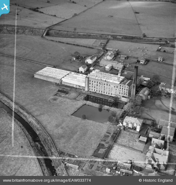
EAW033774 ENGLAND (1950). Abbey Mill, Abbey Village, 1950. This image was marked by Aerofilms Ltd for photo editing.
© Copyright OpenStreetMap contributors and licensed by the OpenStreetMap Foundation. 2024. Cartography is licensed as CC BY-SA.
Nearby Images (11)
EAW033774

EAW033776

EAW033771

EAW033780

EAW033779

EAW033777

EAW033773

EAW033772

EAW033775

EAW033778

EAW033781

Details
| Title | [EAW033774] Abbey Mill, Abbey Village, 1950. This image was marked by Aerofilms Ltd for photo editing. |
| Reference | EAW033774 |
| Date | 16-October-1950 |
| Link | |
| Place name | ABBEY VILLAGE |
| Parish | WITHNELL |
| District | |
| Country | ENGLAND |
| Easting / Northing | 364044, 422519 |
| Longitude / Latitude | -2.5446479557471, 53.697644283259 |
| National Grid Reference | SD640225 |
Pins
Be the first to add a comment to this image!


