
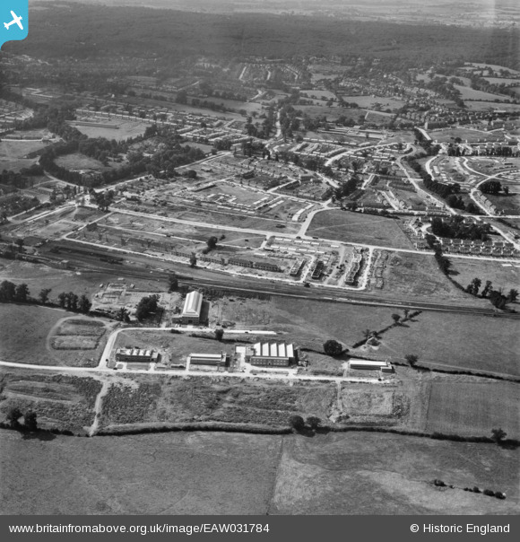
EAW031784 ENGLAND (1950). The Debden Estate under construction, Loughton, 1950
© Copyright OpenStreetMap contributors and licensed by the OpenStreetMap Foundation. 2024. Cartography is licensed as CC BY-SA.
Nearby Images (16)
EAW031784

EAW031785

EAW031778

EAW049302
, Loughton, 1953. This image was marked by Aerofilms Ltd for photo editing.")
EAW031776

EAW049306
, Loughton, 1953. This image was marked by Aerofilms Ltd for photo editing.")
EAW049305
, Loughton, 1953. This image was marked by Aerofilms Ltd for photo editing.")
EAW049307
, Loughton, 1953. This image was marked by Aerofilms Ltd for photo editing.")
EAW049308
, Loughton, 1953. This image was marked by Aerofilms Ltd for photo editing.")
EAW031781

EAW049303
, Loughton, 1953. This image was marked by Aerofilms Ltd for photo editing.")
EAW049304
, Loughton, 1953. This image was marked by Aerofilms Ltd for photo editing.")
EAW049301
, Loughton, 1953. This image was marked by Aerofilms Ltd for photo editing.")
EAW031777

EAW031782

EAW031780

Details
| Title | [EAW031784] The Debden Estate under construction, Loughton, 1950 |
| Reference | EAW031784 |
| Date | 4-August-1950 |
| Link | |
| Place name | LOUGHTON |
| Parish | LOUGHTON |
| District | |
| Country | ENGLAND |
| Easting / Northing | 544435, 196382 |
| Longitude / Latitude | 0.087851715411063, 51.647190833165 |
| National Grid Reference | TQ444964 |
Pins
 Allen |
Sunday 3rd of January 2016 05:20:49 PM | |
martin |
Sunday 10th of August 2014 08:00:40 PM | |
martin |
Sunday 10th of August 2014 07:59:03 PM | |
martin |
Sunday 10th of August 2014 07:58:14 PM |


