
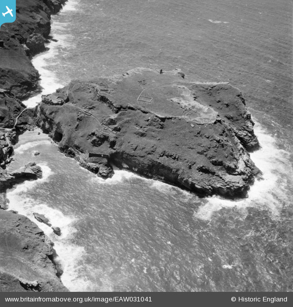
EAW031041 ENGLAND (1950). Tintagel Island, Tintagel, 1950
© Copyright OpenStreetMap contributors and licensed by the OpenStreetMap Foundation. 2024. Cartography is licensed as CC BY-SA.
Nearby Images (14)
EAW031041

EAW005830

EAW020264

EAW031043

EAW031046

EAW031040

EAW031042

EAW005832

EAW031045

EAW005828

EAW031039

EAW005831

EAW005829

EAW031015

Details
| Title | [EAW031041] Tintagel Island, Tintagel, 1950 |
| Reference | EAW031041 |
| Date | 11-July-1950 |
| Link | |
| Place name | TINTAGEL |
| Parish | TINTAGEL |
| District | |
| Country | ENGLAND |
| Easting / Northing | 205013, 89225 |
| Longitude / Latitude | -4.7597081566169, 50.669410521297 |
| National Grid Reference | SX050892 |
Pins
Be the first to add a comment to this image!


