
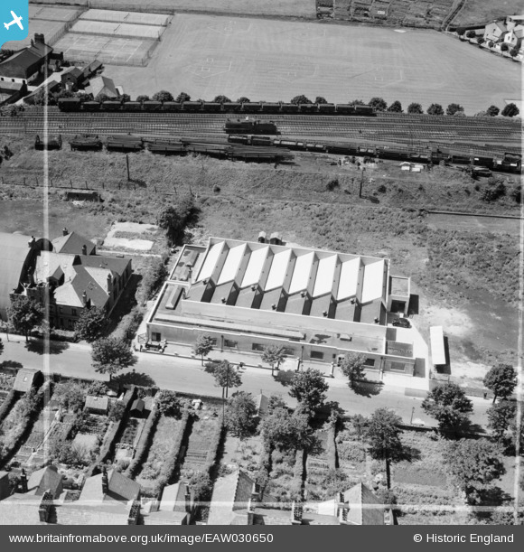
EAW030650 ENGLAND (1950). Clothing Factory on Dallas Road, Lancaster, 1950. This image was marked by Aerofilms Ltd for photo editing.
© Copyright OpenStreetMap contributors and licensed by the OpenStreetMap Foundation. 2024. Cartography is licensed as CC BY-SA.
Nearby Images (7)
EAW030650

EAW030651

EAW030653

EAW030654

EAW030652

EAW030655

EAW030656

Details
| Title | [EAW030650] Clothing Factory on Dallas Road, Lancaster, 1950. This image was marked by Aerofilms Ltd for photo editing. |
| Reference | EAW030650 |
| Date | 30-June-1950 |
| Link | |
| Place name | LANCASTER |
| Parish | |
| District | |
| Country | ENGLAND |
| Easting / Northing | 347356, 461218 |
| Longitude / Latitude | -2.8040526174866, 54.044056077629 |
| National Grid Reference | SD474612 |
Pins
 John Wass |
Saturday 10th of January 2015 07:57:52 PM |


