
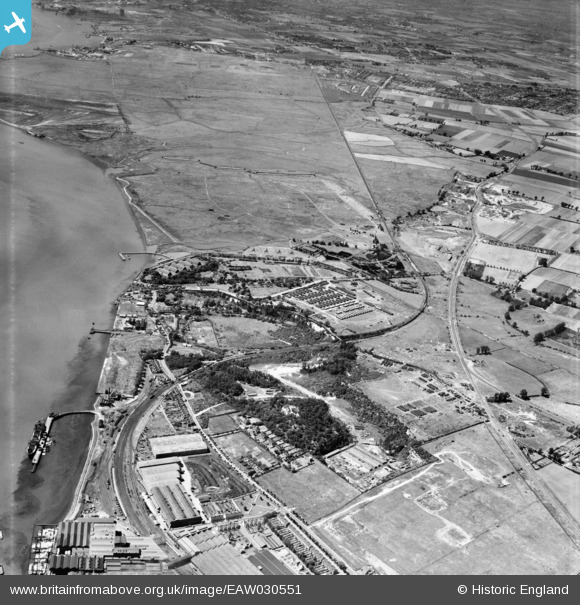
EAW030551 ENGLAND (1950). Beacon Hill and environs, Beacon Hill, from the south-east, 1950
© Copyright OpenStreetMap contributors and licensed by the OpenStreetMap Foundation. 2024. Cartography is licensed as CC BY-SA.
Nearby Images (15)
EAW030551

EAW030553

EPW062019

EAW030552

EAW030548

EAW030557

EPW026351

EAW030558

EAW030545

EAW030554

EAW030543

EAW030546

EAW030556

EAW030550

EAW030555

Details
| Title | [EAW030551] Beacon Hill and environs, Beacon Hill, from the south-east, 1950 |
| Reference | EAW030551 |
| Date | 28-June-1950 |
| Link | |
| Place name | BEACON HILL |
| Parish | |
| District | |
| Country | ENGLAND |
| Easting / Northing | 555710, 178334 |
| Longitude / Latitude | 0.24270876431273, 51.482011181818 |
| National Grid Reference | TQ557783 |
Pins
Be the first to add a comment to this image!


