
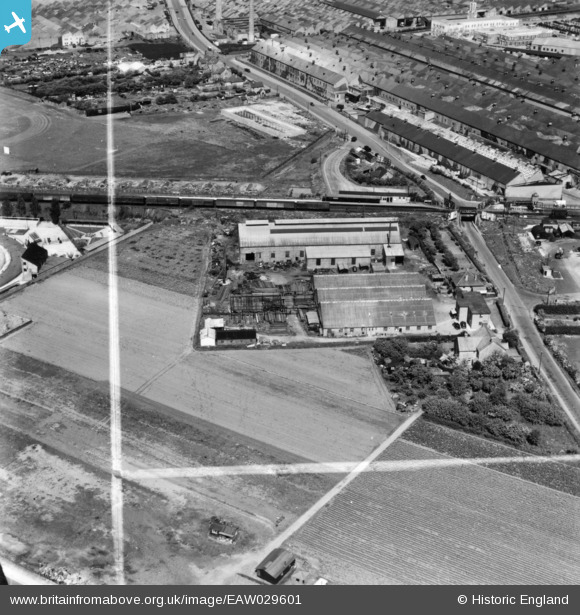
EAW029601 ENGLAND (1950). The Oxford & Cowley Ironworks Ltd Foundry, Cowley, 1950. This image has been produced from a print marked by Aerofilms Ltd for photo editing.
© Copyright OpenStreetMap contributors and licensed by the OpenStreetMap Foundation. 2024. Cartography is licensed as CC BY-SA.
Nearby Images (14)
EAW029601

EAW029597

EAW029596

EAW029595

EAW029598

EAW029600

EAW029594

EAW029599

EAW047221
 and Oxford Stadium, Oxford, from the south, 1952. This image was marked by Aerofilms Ltd for photo editing.")
EAW047223
, Cowley, from the south-west, 1952. This image was marked by Aerofilms Ltd for photo editing.")
EAW047212
 and Oxford Stadium, Oxford, from the south-west, 1952. This image was marked by Aerofilms Ltd for photo editing.")
EAW050089

EAW047213
 and Oxford Stadium, Cowley, from the south-west, 1952. This image was marked by Aerofilms Ltd for photo editing.")
EPW031358

Details
| Title | [EAW029601] The Oxford & Cowley Ironworks Ltd Foundry, Cowley, 1950. This image has been produced from a print marked by Aerofilms Ltd for photo editing. |
| Reference | EAW029601 |
| Date | 24-May-1950 |
| Link | |
| Place name | COWLEY |
| Parish | BLACKBIRD LEYS |
| District | |
| Country | ENGLAND |
| Easting / Northing | 455501, 203470 |
| Longitude / Latitude | -1.1963434899866, 51.726740765024 |
| National Grid Reference | SP555035 |


