
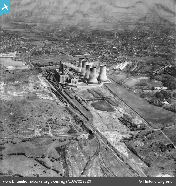
EAW029329 ENGLAND (1950). Walsall B Power Station and environs, Walsall, from the north-west. 1950
© Copyright OpenStreetMap contributors and licensed by the OpenStreetMap Foundation. 2024. Cartography is licensed as CC BY-SA.
Nearby Images (6)
EAW029329

EAW029328

EAW025509

EAW029336

EAW029342

EAW029335

Details
| Title | [EAW029329] Walsall B Power Station and environs, Walsall, from the north-west. 1950 |
| Reference | EAW029329 |
| Date | 10-May-1950 |
| Link | |
| Place name | WALSALL |
| Parish | |
| District | |
| Country | ENGLAND |
| Easting / Northing | 399603, 299940 |
| Longitude / Latitude | -2.0058617501123, 52.596897692531 |
| National Grid Reference | SO996999 |
Pins
Be the first to add a comment to this image!


