
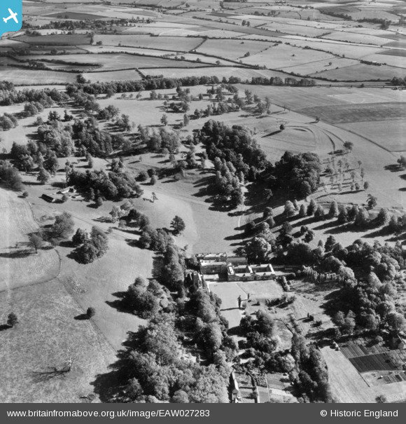
EAW027283 ENGLAND (1949). Dyrham House and Park, Dyrham, 1949. This image has been produced from a print.
© Copyright OpenStreetMap contributors and licensed by the OpenStreetMap Foundation. 2024. Cartography is licensed as CC BY-SA.
Nearby Images (5)
EAW027283

EAW027286

EAW027284

EAW027287

EAW027282

Details
| Title | [EAW027283] Dyrham House and Park, Dyrham, 1949. This image has been produced from a print. |
| Reference | EAW027283 |
| Date | 19-October-1949 |
| Link | |
| Place name | DYRHAM |
| Parish | DYRHAM AND HINTON |
| District | |
| Country | ENGLAND |
| Easting / Northing | 374378, 175722 |
| Longitude / Latitude | -2.368994903974, 51.479388564044 |
| National Grid Reference | ST744757 |
Pins
Be the first to add a comment to this image!


