
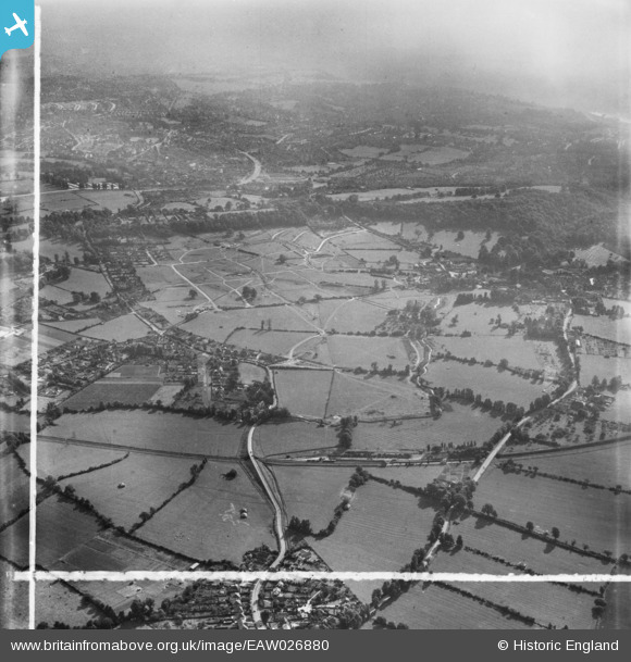
EAW026880 ENGLAND (1949). Henbury Housing Estate under construction, Henbury, 1949. This image was marked by Aerofilms Ltd for photo editing.
© Copyright OpenStreetMap contributors and licensed by the OpenStreetMap Foundation. 2024. Cartography is licensed as CC BY-SA.
Nearby Images (6)
EAW026880

EAW026879

EAW026878

EAW026875

EAW026870

EAW026873
, Henbury, 1949. This image has been produced from a damaged negative.")
Details
| Title | [EAW026880] Henbury Housing Estate under construction, Henbury, 1949. This image was marked by Aerofilms Ltd for photo editing. |
| Reference | EAW026880 |
| Date | 2-October-1949 |
| Link | |
| Place name | HENBURY |
| Parish | |
| District | |
| Country | ENGLAND |
| Easting / Northing | 356867, 179121 |
| Longitude / Latitude | -2.6215821904788, 51.508887797071 |
| National Grid Reference | ST569791 |
Pins
 Buzzard |
Monday 6th of October 2014 06:24:22 PM | |
Buzzard |
Monday 6th of October 2014 06:23:20 PM | |
Buzzard |
Monday 6th of October 2014 06:22:52 PM | |
Buzzard |
Monday 6th of October 2014 06:21:06 PM | |
Buzzard |
Monday 6th of October 2014 06:20:07 PM | |
Buzzard |
Monday 6th of October 2014 05:32:38 PM | |
Buzzard |
Monday 6th of October 2014 05:32:06 PM | |
Buzzard |
Monday 6th of October 2014 05:30:36 PM | |
 Class31 |
Monday 9th of June 2014 10:25:53 AM | |
Class31 |
Monday 9th of June 2014 10:24:22 AM |


