
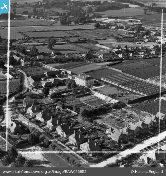
EAW026852 ENGLAND (1949). Cokeham Manor and environs, Sompting, 1949. This image has been produced from a print marked by Aerofilms Ltd for photo editing.
© Copyright OpenStreetMap contributors and licensed by the OpenStreetMap Foundation. 2024. Cartography is licensed as CC BY-SA.
Nearby Images (4)
EAW026852

EAW026853

EAW026851

EAW026850

Details
| Title | [EAW026852] Cokeham Manor and environs, Sompting, 1949. This image has been produced from a print marked by Aerofilms Ltd for photo editing. |
| Reference | EAW026852 |
| Date | 3-October-1949 |
| Link | |
| Place name | SOMPTING |
| Parish | SOMPTING |
| District | |
| Country | ENGLAND |
| Easting / Northing | 517275, 104706 |
| Longitude / Latitude | -0.33458324782514, 50.829434673618 |
| National Grid Reference | TQ173047 |
Pins
Be the first to add a comment to this image!


