
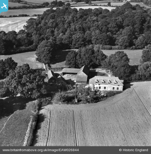
EAW026844 ENGLAND (1949). Bell's Farm, Slaugham, 1949. This image has been produced from a print.
© Copyright OpenStreetMap contributors and licensed by the OpenStreetMap Foundation. 2024. Cartography is licensed as CC BY-SA.
Nearby Images (5)
EAW026844

EAW026843

EAW026842

EAW026849

EAW026848

Details
| Title | [EAW026844] Bell's Farm, Slaugham, 1949. This image has been produced from a print. |
| Reference | EAW026844 |
| Date | 3-October-1949 |
| Link | |
| Place name | SLAUGHAM |
| Parish | SLAUGHAM |
| District | |
| Country | ENGLAND |
| Easting / Northing | 524026, 127567 |
| Longitude / Latitude | -0.23097920415393, 51.033527410941 |
| National Grid Reference | TQ240276 |
Pins
Be the first to add a comment to this image!


