
EAW026473 ENGLAND (1949). Windsor Bridge and the town, Eton, 1949

© Copyright OpenStreetMap contributors and licensed by the OpenStreetMap Foundation. 2024. Cartography is licensed as CC BY-SA.
Nearby Images (4)
EAW026473

EPW056589

EAW003662

EPW006296

Details
| Title | [EAW026473] Windsor Bridge and the town, Eton, 1949 |
| Reference | EAW026473 |
| Date | 10-September-1949 |
| Link | |
| Place name | ETON |
| Parish | ETON |
| District | |
| Country | ENGLAND |
| Easting / Northing | 496721, 177363 |
| Longitude / Latitude | -0.60683004092539, 51.48645103456 |
| National Grid Reference | SU967774 |
Pins
 sciencefish |
Friday 9th of July 2021 12:34:23 PM | |
 Class31 |
Tuesday 8th of September 2015 04:58:22 PM | |
Thamesweb |
Wednesday 12th of March 2014 11:14:06 AM | |
dave43 |
Sunday 9th of March 2014 08:46:56 PM | |
dave43 |
Sunday 9th of March 2014 08:46:02 PM |
User Comment Contributions
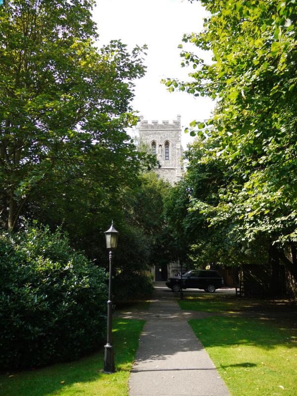
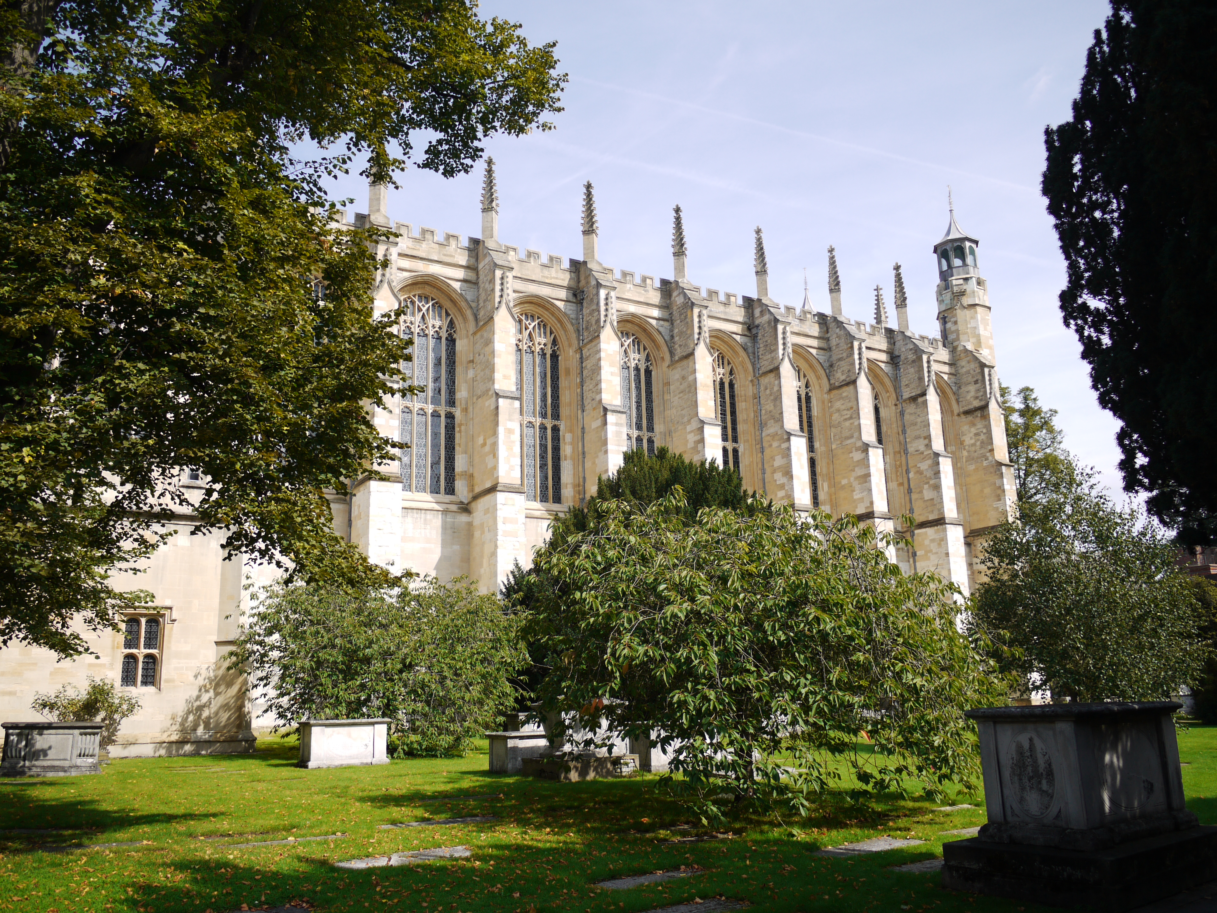 Eton College Chapel, 07/09/2015 |
Class31 |
Tuesday 8th of September 2015 03:18:52 PM |


