
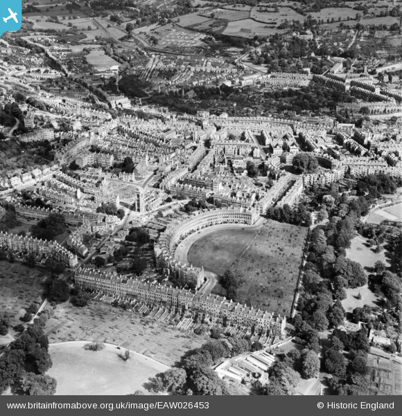
EAW026453 ENGLAND (1949). The Royal Crescent and environs, Bath, 1949
© Copyright OpenStreetMap contributors and licensed by the OpenStreetMap Foundation. 2024. Cartography is licensed as CC BY-SA.
Nearby Images (17)
EAW026453

EAW027311

EAW049895

EPW048395

EPW053142

EAW026452

EPW001949

EPW001940

EPW048394

EPW053139

EPW048392

EAW049896

EPW001946

EAW049897

EPW053149

EAW026454

EPW001952

Details
| Title | [EAW026453] The Royal Crescent and environs, Bath, 1949 |
| Reference | EAW026453 |
| Date | 8-September-1949 |
| Link | |
| Place name | BATH |
| Parish | |
| District | |
| Country | ENGLAND |
| Easting / Northing | 374614, 165422 |
| Longitude / Latitude | -2.3648576736285, 51.386777209756 |
| National Grid Reference | ST746654 |
Pins


User Comment Contributions
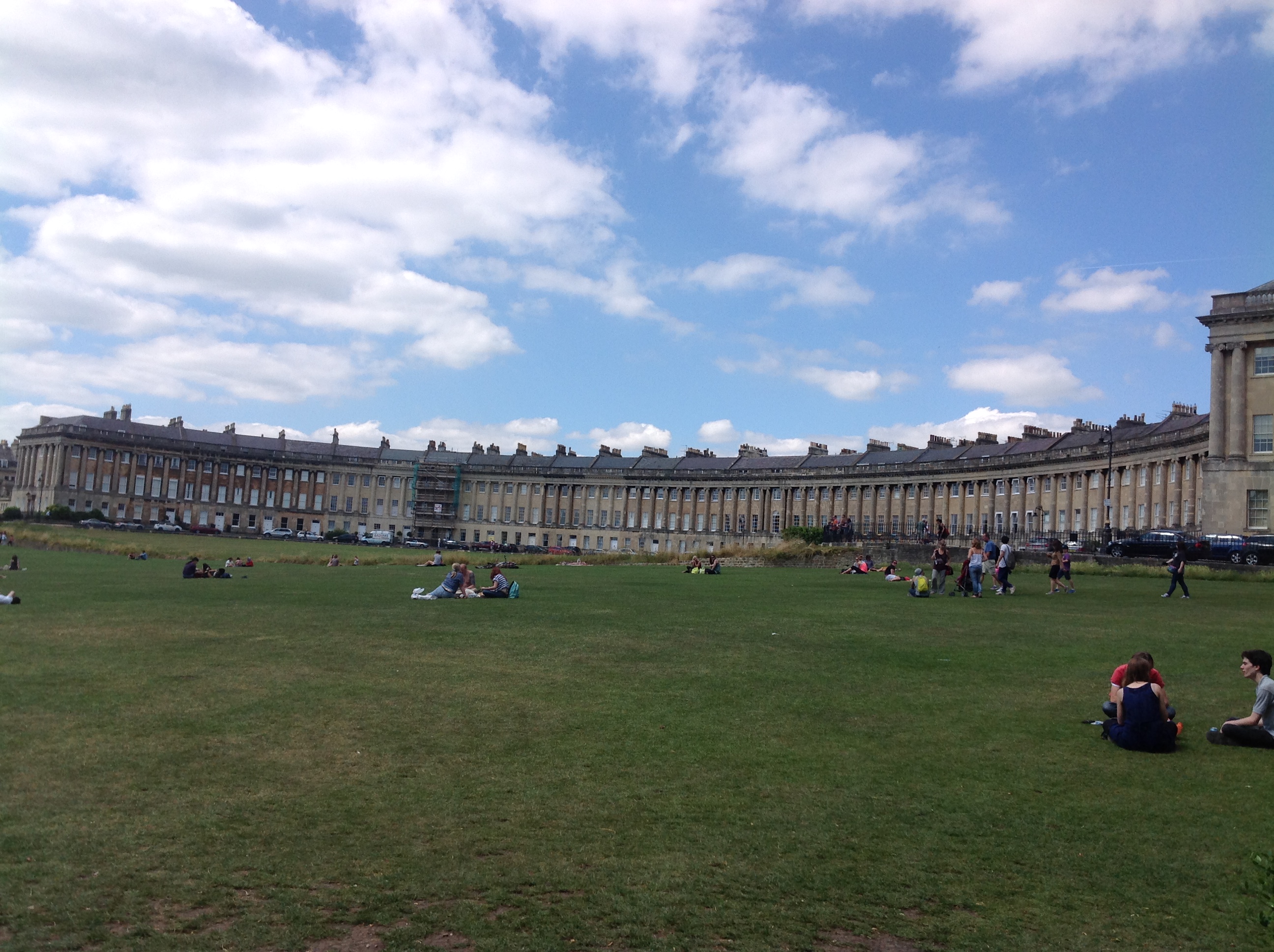 The Royal Crescent, Bath, 15/07/2014 |
 Class31 |
Wednesday 16th of July 2014 07:30:36 AM |


