
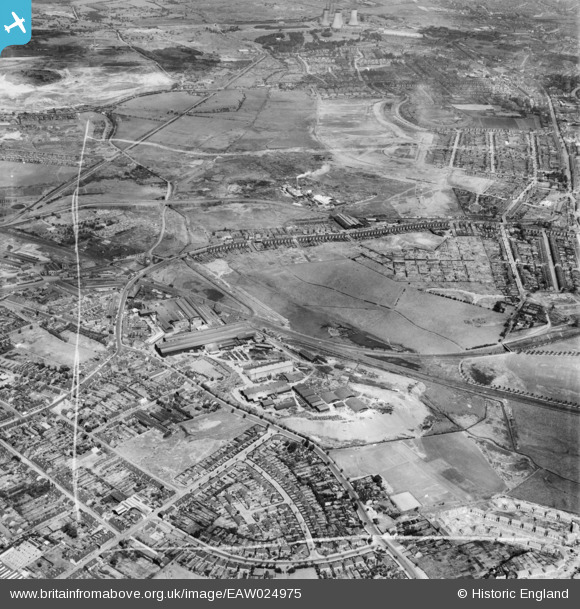
EAW024975 ENGLAND (1949). The F. H. Lloyd and Co James Bridge Steel Works and the surrounding area, Darlaston, 1949. This image was marked by Aerofilms Ltd for photo editing.
© Copyright OpenStreetMap contributors and licensed by the OpenStreetMap Foundation. 2024. Cartography is licensed as CC BY-SA.
Nearby Images (24)
EAW024975

EAW024976

EAW042209

EPW057530

EAW042217

EAW042212

EAW000950

EAW000946

EAW024974

EAW042206

EPW057528

EAW042219

EAW042215

EAW024972

EAW000948

EPW057529

EAW042216

EAW024982

EAW042207

EPW057527

EPW057524

EAW000951

EPW057525

EAW024971

Details
| Title | [EAW024975] The F. H. Lloyd and Co James Bridge Steel Works and the surrounding area, Darlaston, 1949. This image was marked by Aerofilms Ltd for photo editing. |
| Reference | EAW024975 |
| Date | 21-July-1949 |
| Link | |
| Place name | DARLASTON |
| Parish | |
| District | |
| Country | ENGLAND |
| Easting / Northing | 399133, 297281 |
| Longitude / Latitude | -2.0127943901318, 52.572990481953 |
| National Grid Reference | SO991973 |
Pins
 KevTheBusDriver |
Sunday 28th of June 2015 07:44:14 PM | |
KevTheBusDriver |
Sunday 28th of June 2015 07:43:16 PM | |
KevTheBusDriver |
Sunday 28th of June 2015 07:41:37 PM |


