
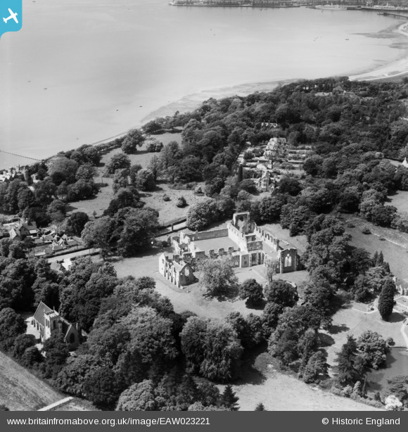
EAW023221 ENGLAND (1949). Netley Abbey, Netley, 1949
© Copyright OpenStreetMap contributors and licensed by the OpenStreetMap Foundation. 2024. Cartography is licensed as CC BY-SA.
Nearby Images (9)
EAW023221

EAW035251

EAW035254

EAW035253

EPW020446

EAW023223

EAW035252

EAW023222

EAW023224

Details
| Title | [EAW023221] Netley Abbey, Netley, 1949 |
| Reference | EAW023221 |
| Date | 19-May-1949 |
| Link | |
| Place name | NETLEY |
| Parish | HOUND |
| District | |
| Country | ENGLAND |
| Easting / Northing | 445234, 108994 |
| Longitude / Latitude | -1.3569805713914, 50.878113138501 |
| National Grid Reference | SU452090 |
Pins
 Class31 |
Thursday 25th of September 2014 08:23:38 PM |

User Comment Contributions
Monastery from 1239 to 1536. Cistercian order |
 MB |
Sunday 4th of September 2016 05:12:01 PM |
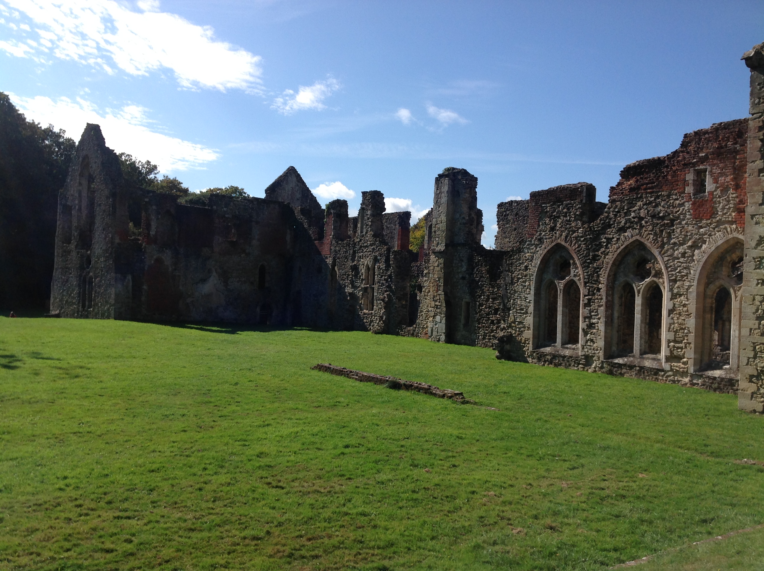 Netley Abbey, 25/09/2014 |
Class31 |
Thursday 25th of September 2014 08:38:30 PM |
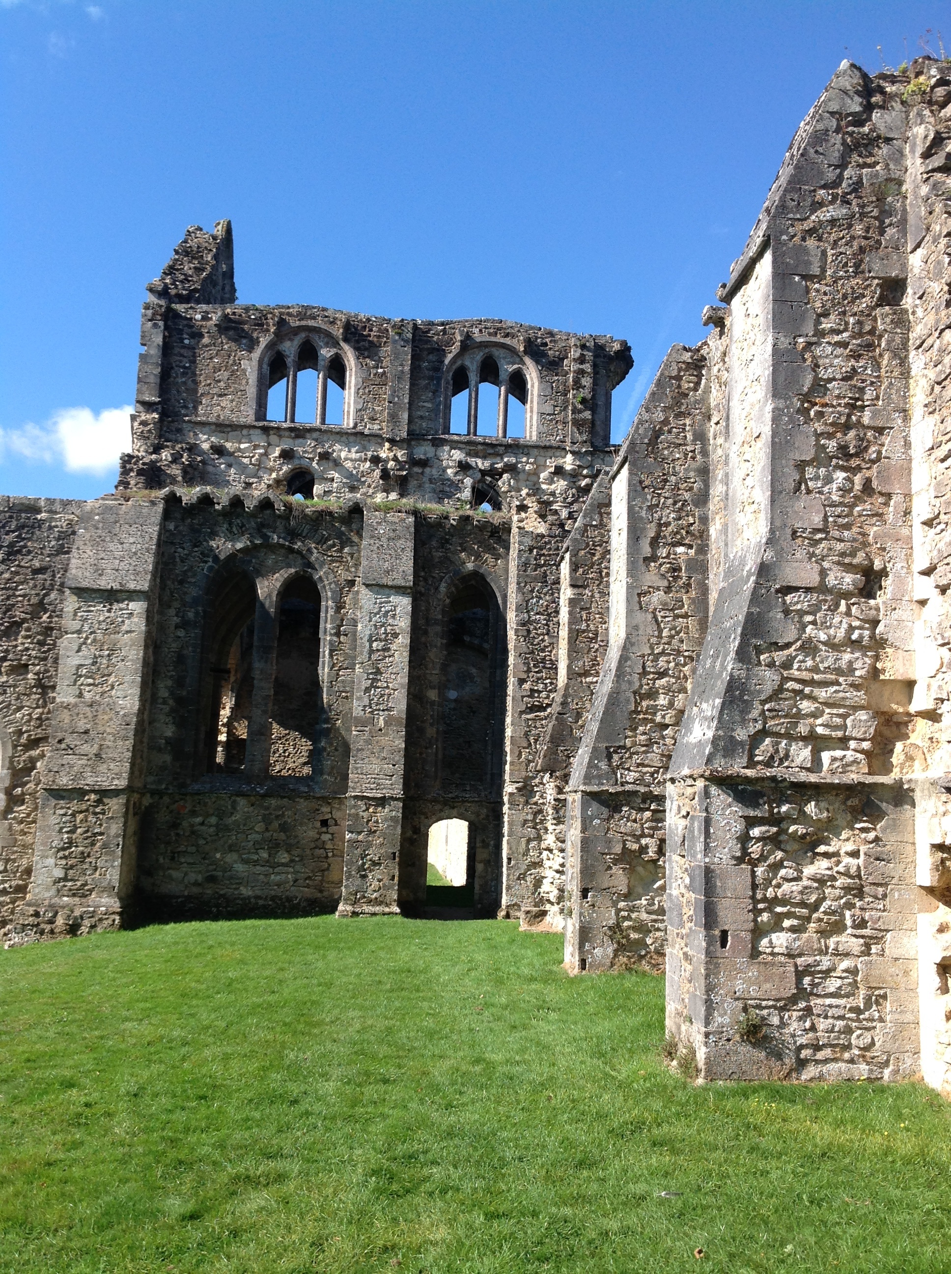 Netley Abbey, 25/09/2014 |
Class31 |
Thursday 25th of September 2014 08:31:04 PM |
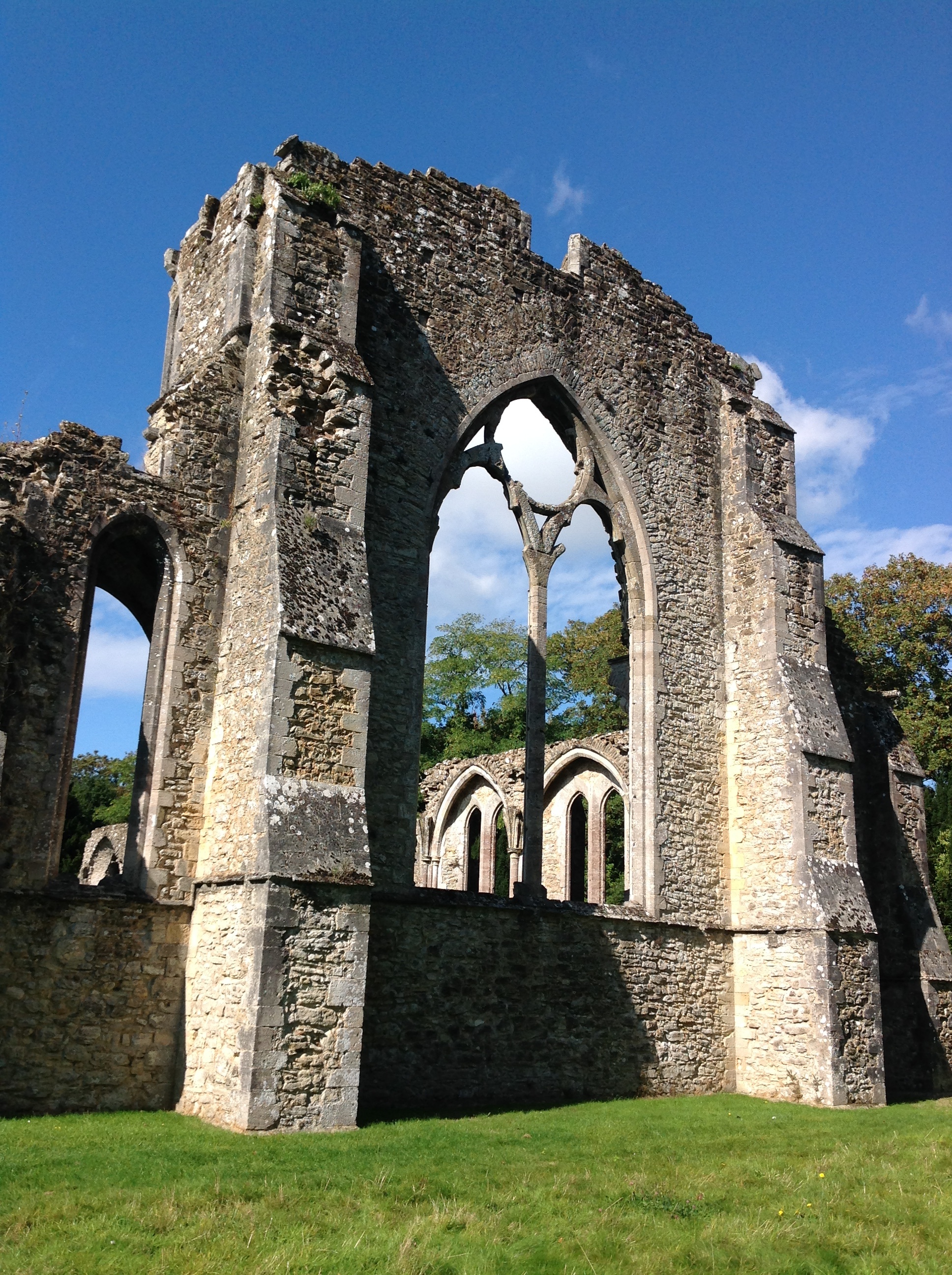
 Netley Abbey, 25/09/2014 |
Class31 |
Thursday 25th of September 2014 08:29:35 PM |
 Netley Abbey, 25/09/2014 |
Class31 |
Thursday 25th of September 2014 08:27:15 PM |


