
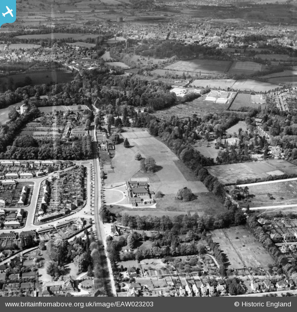
EAW023203 ENGLAND (1949). Headington School and environs, Headington, from the north-east, 1949. This image was marked by Aerofilms Ltd for photo editing.
© Copyright OpenStreetMap contributors and licensed by the OpenStreetMap Foundation. 2024. Cartography is licensed as CC BY-SA.
Nearby Images (6)
EAW023203

EAW003908

EAW023201

EAW023200

EPW050487

EAW023202

Details
| Title | [EAW023203] Headington School and environs, Headington, from the north-east, 1949. This image was marked by Aerofilms Ltd for photo editing. |
| Reference | EAW023203 |
| Date | 6-May-1949 |
| Link | |
| Place name | HEADINGTON |
| Parish | |
| District | |
| Country | ENGLAND |
| Easting / Northing | 453917, 206915 |
| Longitude / Latitude | -1.2187434487613, 51.75787039266 |
| National Grid Reference | SP539069 |
Pins
Be the first to add a comment to this image!


