
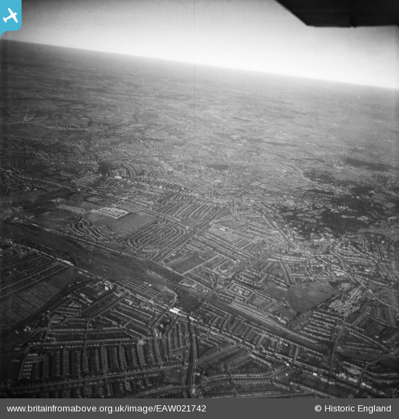
EAW021742 ENGLAND (1949). Cricklewood, Brent Sidings, Golders Green and beyond, Child's Hill, from the south, 1949
© Copyright OpenStreetMap contributors and licensed by the OpenStreetMap Foundation. 2024. Cartography is licensed as CC BY-SA.
Nearby Images (3)
EAW021742

EPW009350A

EPW006177

Details
| Title | [EAW021742] Cricklewood, Brent Sidings, Golders Green and beyond, Child's Hill, from the south, 1949 |
| Reference | EAW021742 |
| Date | 26-March-1949 |
| Link | |
| Place name | CHILD'S HILL |
| Parish | |
| District | |
| Country | ENGLAND |
| Easting / Northing | 524079, 186164 |
| Longitude / Latitude | -0.20984892818339, 51.560213703415 |
| National Grid Reference | TQ241862 |
Pins
 Karhedron |
Thursday 16th of March 2023 09:38:13 AM | |
Karhedron |
Thursday 16th of March 2023 09:37:15 AM | |
SB83 |
Monday 24th of February 2014 04:20:36 PM | |
SB83 |
Monday 24th of February 2014 04:20:10 PM | |
SB83 |
Monday 24th of February 2014 04:15:23 PM |


