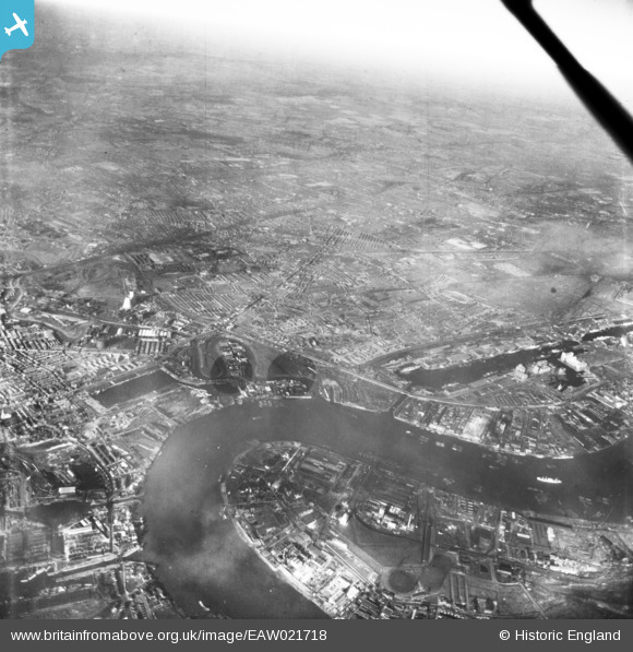
EAW021718 ENGLAND (1949). A cityscape over West Ham and East Ham, Silvertown, from the south-west, 1949. This image has been produced from a damaged print.
© Copyright OpenStreetMap contributors and licensed by the OpenStreetMap Foundation. 2024. Cartography is licensed as CC BY-SA.
Nearby Images (3)
EAW021718

EAW021717

EPW059928

Details
| Title | [EAW021718] A cityscape over West Ham and East Ham, Silvertown, from the south-west, 1949. This image has been produced from a damaged print. |
| Reference | EAW021718 |
| Date | 26-March-1949 |
| Link | |
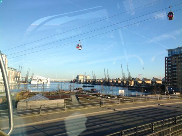
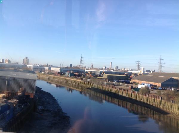
| Place name | SILVERTOWN |
| Parish | |
| District | |
| Country | ENGLAND |
| Easting / Northing | 539492, 180403 |
| Longitude / Latitude | 0.010100514257729, 51.504838439108 |
| National Grid Reference | TQ395804 |
Pins
 gBr |
Monday 6th of March 2017 08:46:27 PM | |
 Plaistow-Kid |
Thursday 11th of August 2016 06:40:29 PM | |
Plaistow-Kid |
Thursday 11th of August 2016 06:39:09 PM | |
 Class31 |
Thursday 19th of February 2015 11:26:48 AM | |
Class31 |
Thursday 19th of February 2015 11:23:53 AM | |
Class31 |
Thursday 19th of February 2015 11:22:22 AM | |
Class31 |
Thursday 19th of February 2015 11:21:47 AM |