
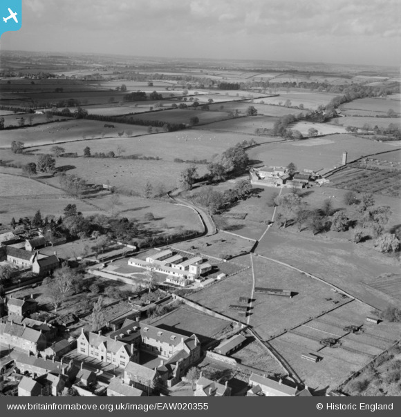
EAW020355 ENGLAND (1948). Northamptonshire Institute of Agriculture and Moulton Grounds Farm, Moulton, from the south-east, 1948
© Copyright OpenStreetMap contributors and licensed by the OpenStreetMap Foundation. 2024. Cartography is licensed as CC BY-SA.
Nearby Images (19)
EAW020355

EAW020356

EAW020344

EAW020346

EAW020347

EAW020349

EAW020348

EAW020345

EAW027206

EAW027208

EAW027209

EAW027210

EAW027211

EAW027207

EAW027205

EAW020357

EAW020358

EAW020352

EAW020351

Details
| Title | [EAW020355] Northamptonshire Institute of Agriculture and Moulton Grounds Farm, Moulton, from the south-east, 1948 |
| Reference | EAW020355 |
| Date | 4-November-1948 |
| Link | |
| Place name | MOULTON |
| Parish | MOULTON |
| District | |
| Country | ENGLAND |
| Easting / Northing | 477965, 266465 |
| Longitude / Latitude | -0.85678059357006, 52.290389061991 |
| National Grid Reference | SP780665 |
Pins
Be the first to add a comment to this image!


