
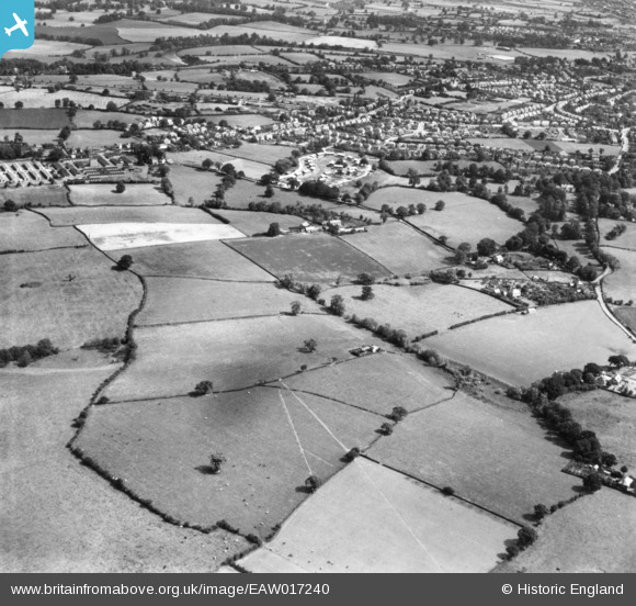
EAW017240 ENGLAND (1948). The Copthorne area and fields around Crowmeole, Shrewsbury, 1948. This image has been produced from a print.
© Copyright OpenStreetMap contributors and licensed by the OpenStreetMap Foundation. 2024. Cartography is licensed as CC BY-SA.
Nearby Images (2)
EAW017240

EAW017248

Details
| Title | [EAW017240] The Copthorne area and fields around Crowmeole, Shrewsbury, 1948. This image has been produced from a print. |
| Reference | EAW017240 |
| Date | 19-July-1948 |
| Link | |
| Place name | SHREWSBURY |
| Parish | SHREWSBURY |
| District | |
| Country | ENGLAND |
| Easting / Northing | 346795, 311742 |
| Longitude / Latitude | -2.7874412833892, 52.700391787887 |
| National Grid Reference | SJ468117 |
Pins
Be the first to add a comment to this image!


