
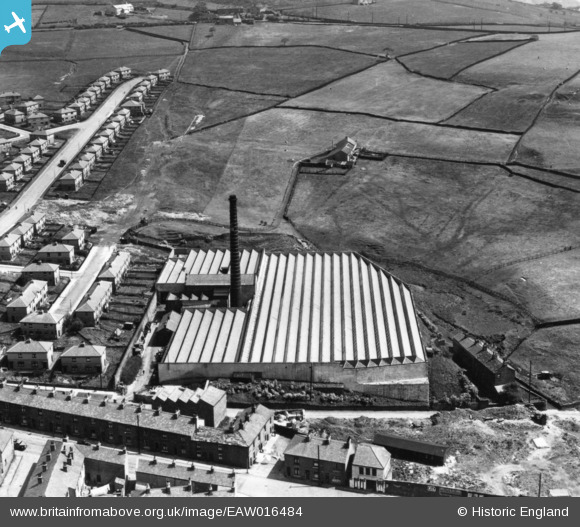
EAW016484 ENGLAND (1948). Grane Mill, Haslingden, 1948. This image has been produced from a print.
© Copyright OpenStreetMap contributors and licensed by the OpenStreetMap Foundation. 2024. Cartography is licensed as CC BY-SA.
Nearby Images (8)
EAW016484

EAW016487

EAW016485

EAW016483

EAW016482

EAW016488

EAW016481

EAW016486

Details
| Title | [EAW016484] Grane Mill, Haslingden, 1948. This image has been produced from a print. |
| Reference | EAW016484 |
| Date | 11-June-1948 |
| Link | |
| Place name | HASLINGDEN |
| Parish | |
| District | |
| Country | ENGLAND |
| Easting / Northing | 379085, 422874 |
| Longitude / Latitude | -2.3168417244058, 53.701654536444 |
| National Grid Reference | SD791229 |
Pins
 wadey |
Sunday 9th of April 2023 02:31:29 PM | |
wadey |
Sunday 9th of April 2023 02:30:02 PM | |
wadey |
Tuesday 30th of September 2014 03:59:38 PM | |
wadey |
Tuesday 30th of September 2014 03:58:35 PM |


