
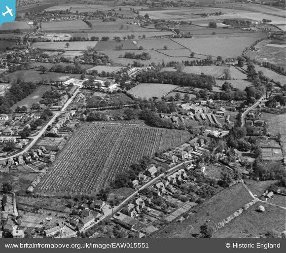
EAW015551 ENGLAND (1948). The Hale Laundry Ltd and environs, Hale, 1948. This image has been produced from a damaged negative.
© Copyright OpenStreetMap contributors and licensed by the OpenStreetMap Foundation. 2024. Cartography is licensed as CC BY-SA.
Nearby Images (13)
EAW015551

EAW015554

EAW015555

EAW015549

EAW015550

EAW015553

EAW015548

EAW015547

EAW015552

EAW015537

EAW022445

EAW022447

EAW022446

Details
| Title | [EAW015551] The Hale Laundry Ltd and environs, Hale, 1948. This image has been produced from a damaged negative. |
| Reference | EAW015551 |
| Date | 14-May-1948 |
| Link | |
| Place name | HALE |
| Parish | FARNHAM |
| District | |
| Country | ENGLAND |
| Easting / Northing | 484880, 148675 |
| Longitude / Latitude | -0.78419172181289, 51.230428025152 |
| National Grid Reference | SU849487 |
Pins
 flubber |
Friday 26th of January 2018 07:13:09 PM | |
flubber |
Friday 26th of January 2018 07:12:15 PM | |
flubber |
Friday 26th of January 2018 07:11:28 PM | |
Bob Paine |
Tuesday 4th of February 2014 07:05:41 AM | |
Bob Paine |
Tuesday 4th of February 2014 07:01:11 AM | |
Bob Paine |
Tuesday 4th of February 2014 06:31:21 AM | |
flubber |
Tuesday 24th of December 2013 07:10:12 PM |


