
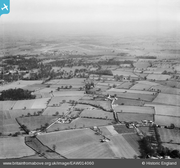
EAW014060 ENGLAND (1948). School Farm and College Farm with RAF Bungay Airfield in the distance, St Cross South Elmham, from the south-west, 1948
© Copyright OpenStreetMap contributors and licensed by the OpenStreetMap Foundation. 2024. Cartography is licensed as CC BY-SA.
Nearby Images (7)
EAW014060

EAW014059

EAW014123

EAW014124

EAW014122

EAW014062

EAW014061

Details
| Title | [EAW014060] School Farm and College Farm with RAF Bungay Airfield in the distance, St Cross South Elmham, from the south-west, 1948 |
| Reference | EAW014060 |
| Date | 25-March-1948 |
| Link | |
| Place name | ST CROSS SOUTH ELMHAM |
| Parish | ST. CROSS, SOUTH ELMHAM |
| District | |
| Country | ENGLAND |
| Easting / Northing | 629674, 284616 |
| Longitude / Latitude | 1.377376872484, 52.410868456343 |
| National Grid Reference | TM297846 |
Pins
Be the first to add a comment to this image!


