
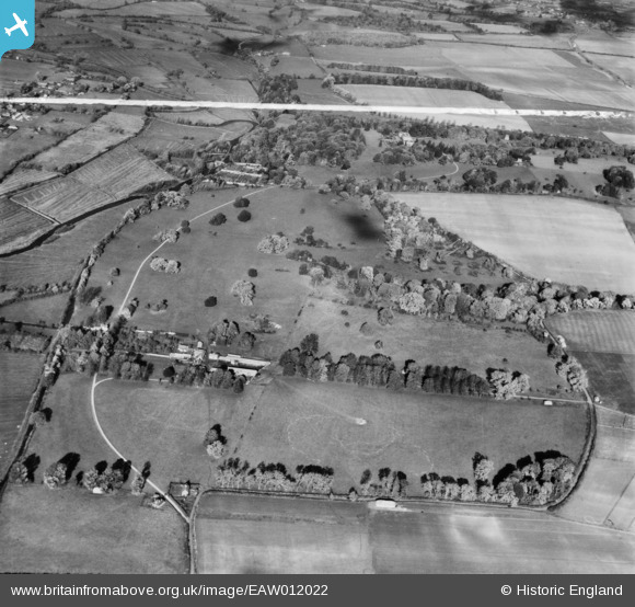
EAW012022 ENGLAND (1947). Barford Park Farm and Barford Park, Downton, 1947. This image was marked by Aerofilms Ltd for photo editing.
© Copyright OpenStreetMap contributors and licensed by the OpenStreetMap Foundation. 2024. Cartography is licensed as CC BY-SA.
Nearby Images (2)
EAW012022

EAW012021

Details
| Title | [EAW012022] Barford Park Farm and Barford Park, Downton, 1947. This image was marked by Aerofilms Ltd for photo editing. |
| Reference | EAW012022 |
| Date | 3-November-1947 |
| Link | |
| Place name | DOWNTON |
| Parish | DOWNTON |
| District | |
| Country | ENGLAND |
| Easting / Northing | 418330, 122882 |
| Longitude / Latitude | -1.7387252938939, 51.004491909761 |
| National Grid Reference | SU183229 |
Pins
Be the first to add a comment to this image!


