
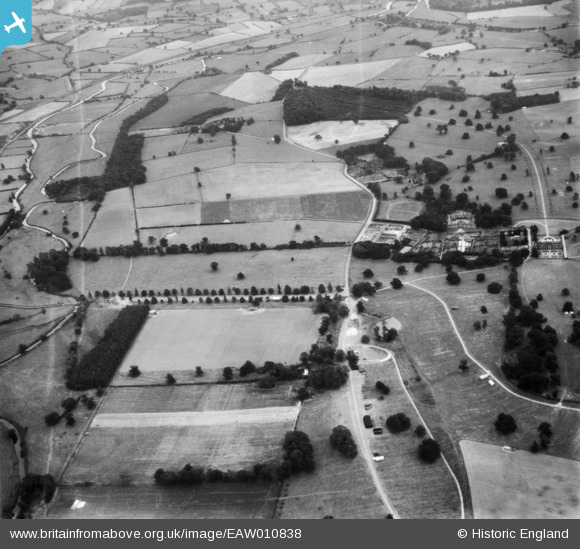
EAW010838 ENGLAND (1947). Trent Walk, Ingestre Hall and surrounding countryside, Ingestre, 1947
© Copyright OpenStreetMap contributors and licensed by the OpenStreetMap Foundation. 2024. Cartography is licensed as CC BY-SA.
Nearby Images (8)
EAW010838

EAW010836

EAW010841

EAW010842

EAW010843

EAW010844

EAW010840

EAW010835

Details
| Title | [EAW010838] Trent Walk, Ingestre Hall and surrounding countryside, Ingestre, 1947 |
| Reference | EAW010838 |
| Date | 13-September-1947 |
| Link | |
| Place name | INGESTRE |
| Parish | INGESTRE |
| District | |
| Country | ENGLAND |
| Easting / Northing | 398060, 324972 |
| Longitude / Latitude | -2.0287920805045, 52.821948511178 |
| National Grid Reference | SJ981250 |
Pins
Be the first to add a comment to this image!


