
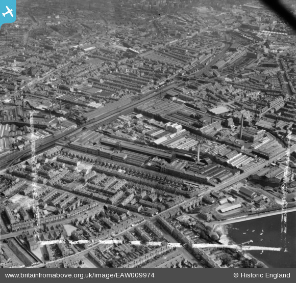
EAW009974 ENGLAND (1947). The Mond Nickel Co Ltd Works at Wiggin Street and environs, Rotton Park, 1947. This image was marked by Aerofilms Ltd for photo editing.
© Copyright OpenStreetMap contributors and licensed by the OpenStreetMap Foundation. 2024. Cartography is licensed as CC BY-SA.
Nearby Images (41)
EAW009974

EAW009973

EPW047130

EPW047134

EPW054217

EPW047135

EPW047133

EPW054220

EPW054221

EPW054222

EPW047132

EPW054216

EAW016439
 and environs, Rotton Park, 1948. This image has been produced from a damaged negative.")
EPW047129

EPW054218

EPW054215

EAW009972

EPW047131

EPW035926

EPW047136

EAW009968

EAW009969

EPW054219

EPW035924

EAW016440

EPW009721

EAW009967

EPW035925

EAW016445

EPW047137

EAW009975

EAW009971

EPW035927

EPW035928

EPW035929

EAW009976

EAW016442

EAW016443

EAW009970

EAW016437

EAW009978

Details
| Title | [EAW009974] The Mond Nickel Co Ltd Works at Wiggin Street and environs, Rotton Park, 1947. This image was marked by Aerofilms Ltd for photo editing. |
| Reference | EAW009974 |
| Date | 31-August-1947 |
| Link | |
| Place name | ROTTON PARK |
| Parish | |
| District | |
| Country | ENGLAND |
| Easting / Northing | 404888, 287274 |
| Longitude / Latitude | -1.9280146628973, 52.482996993479 |
| National Grid Reference | SP049873 |
Pins

User Comment Contributions
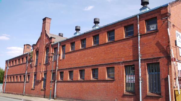
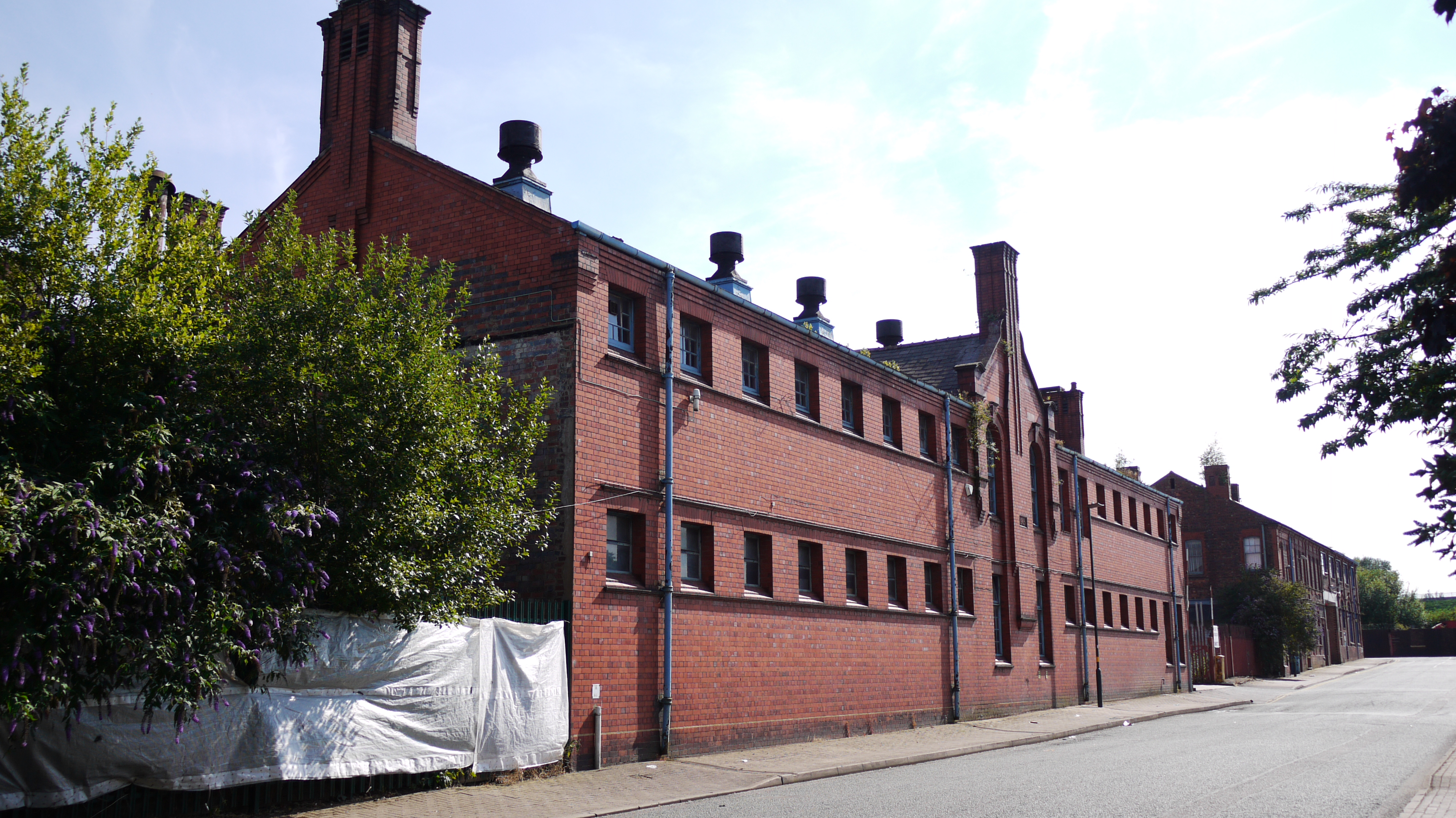 Rotton Park Street, 12/08/2015 |
 Class31 |
Friday 30th of October 2015 10:48:27 PM |


