
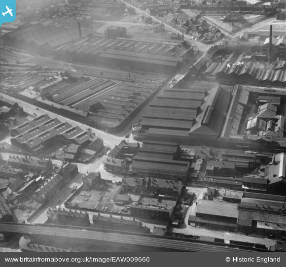
EAW009660 ENGLAND (1947). The Atlas and Norfolk Steel Works, Sheffield, 1947
© Copyright OpenStreetMap contributors and licensed by the OpenStreetMap Foundation. 2024. Cartography is licensed as CC BY-SA.
Nearby Images (34)
EAW009660

EAW009665

EAW020093

EAW009651

EAW020095

EAW018771

EAW020089

EAW020092

EAW020094

EAW009662

EAW009664

EAW009663

EAW020090

EAW018775

EAW018804

EAW020088

EAW009666

EAW018773

EAW018777

EAW018772

EAW020091

EAW009661

EAW018802
, Burngreave, 1948. This image has been produced from a damaged negative.")
EAW017299

EAW018774

EAW017305

EAW018778

EAW018803

EAW017301

EAW018776

EAW009642

EAW018779

EAW009667

EAW009655

Details
| Title | [EAW009660] The Atlas and Norfolk Steel Works, Sheffield, 1947 |
| Reference | EAW009660 |
| Date | 1-September-1947 |
| Link | |
| Place name | SHEFFIELD |
| Parish | |
| District | |
| Country | ENGLAND |
| Easting / Northing | 436664, 388449 |
| Longitude / Latitude | -1.4486225650803, 53.391340668039 |
| National Grid Reference | SK367884 |
Pins
 travellingpass |
Sunday 25th of January 2015 08:09:44 AM | |
beezerboy |
Sunday 10th of November 2013 04:45:49 AM | |
beezerboy |
Sunday 10th of November 2013 04:43:51 AM |


