
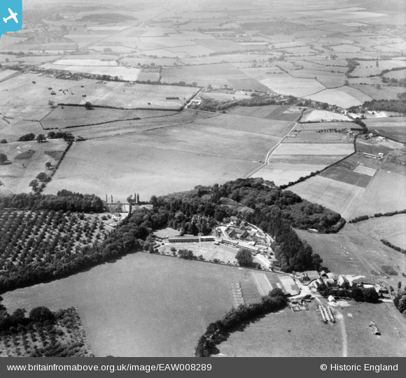
EAW008289 ENGLAND (1947). The Grosvenor Sanatorium and the surrounding countryside, Bockhanger, 1947
© Copyright OpenStreetMap contributors and licensed by the OpenStreetMap Foundation. 2024. Cartography is licensed as CC BY-SA.
Nearby Images (7)
EAW008289

EAW008288

EAW008286

EAW008283

EAW008285

EAW008291

EAW008284

Details
| Title | [EAW008289] The Grosvenor Sanatorium and the surrounding countryside, Bockhanger, 1947 |
| Reference | EAW008289 |
| Date | 15-July-1947 |
| Link | |
| Place name | BOCKHANGER |
| Parish | |
| District | |
| Country | ENGLAND |
| Easting / Northing | 600809, 144977 |
| Longitude / Latitude | 0.87269577134792, 51.168207668785 |
| National Grid Reference | TR008450 |
Pins
Be the first to add a comment to this image!


