
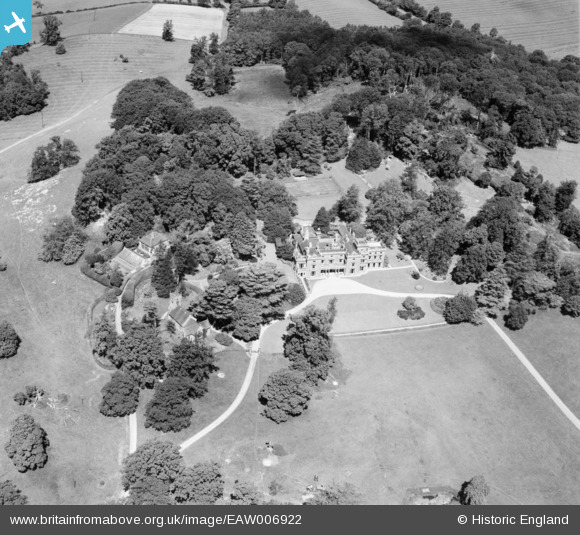
EAW006922 ENGLAND (1947). Shuckburgh Hall and Park, Lower Shuckburgh, 1947
© Copyright OpenStreetMap contributors and licensed by the OpenStreetMap Foundation. 2024. Cartography is licensed as CC BY-SA.
Nearby Images (9)
EAW006922

EAW006926

EAW006923

EAW006925

EAW006918

EAW006919

EAW006924

EAW006921

EAW006920

Details
| Title | [EAW006922] Shuckburgh Hall and Park, Lower Shuckburgh, 1947 |
| Reference | EAW006922 |
| Date | 10-June-1947 |
| Link | |
| Place name | LOWER SHUCKBURGH |
| Parish | UPPER AND LOWER SHUCKBURGH |
| District | |
| Country | ENGLAND |
| Easting / Northing | 449700, 261846 |
| Longitude / Latitude | -1.2718711286221, 52.252145978386 |
| National Grid Reference | SP497618 |
Pins
Be the first to add a comment to this image!


