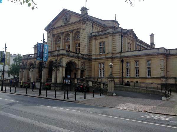
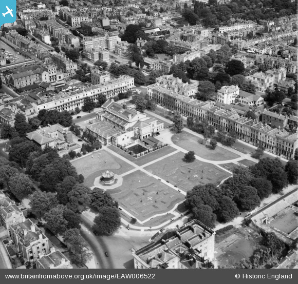
EAW006522 ENGLAND (1947). The Town Hall and Imperial Gardens, Cheltenham, 1947
© Copyright OpenStreetMap contributors and licensed by the OpenStreetMap Foundation. 2024. Cartography is licensed as CC BY-SA.
Nearby Images (10)
EAW006522

EPW024146

EPR000393

EPW000166

EPW024145

EPW048205

EPW048206

EPW000177

EPW024140

EAW006880

Details
| Title | [EAW006522] The Town Hall and Imperial Gardens, Cheltenham, 1947 |
| Reference | EAW006522 |
| Date | 31-May-1947 |
| Link | |
| Place name | CHELTENHAM |
| Parish | |
| District | |
| Country | ENGLAND |
| Easting / Northing | 394734, 222040 |
| Longitude / Latitude | -2.0765382256524, 51.896445716973 |
| National Grid Reference | SO947220 |
Pins
 Isleworth1961 |
Saturday 4th of January 2014 06:32:00 PM | |
 Class31 |
Monday 11th of November 2013 12:53:09 PM |