
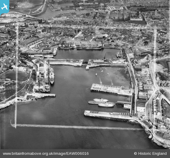
EAW006016 ENGLAND (1947). The Great Western Docks (Millbay) and Stonehouse, Plymouth, 1947. This image was marked by Aerofilms Ltd for photo editing.
© Copyright OpenStreetMap contributors and licensed by the OpenStreetMap Foundation. 2024. Cartography is licensed as CC BY-SA.
Nearby Images (18)
EAW006016
 and Stonehouse, Plymouth, 1947. This image was marked by Aerofilms Ltd for photo editing.")
EAW051361
, Stonehouse, 1953")
EAW007564

EAW007571

EAW006013
, the Eastern King battery and Stonehouse, Plymouth, 1947")
EAW006012
, the Eastern King battery and Stonehouse, Plymouth, 1947")
EAW006015
 and the Eastern King battery, Plymouth, 1947")
EAW007565

EAW007568

EPW054889

EAW007570

EAW007566

EAW006011
 and Stonehouse, Plymouth, 1947. This image was marked by Aerofilms Ltd for photo editing.")
EAW007569

EAW007563

EAW007567

EAW006010
 and Stonehouse, Plymouth, 1947. This image was marked by Aerofilms Ltd for photo editing.")
EAW006009
 and Stonehouse, Plymouth, 1947. This image was marked by Aerofilms Ltd for photo editing.")
Details
| Title | [EAW006016] The Great Western Docks (Millbay) and Stonehouse, Plymouth, 1947. This image was marked by Aerofilms Ltd for photo editing. |
| Reference | EAW006016 |
| Date | 18-May-1947 |
| Link | |
| Place name | PLYMOUTH |
| Parish | |
| District | |
| Country | ENGLAND |
| Easting / Northing | 246833, 53869 |
| Longitude / Latitude | -4.1538120251876, 50.364153469585 |
| National Grid Reference | SX468539 |
Pins
 redmist |
Tuesday 16th of January 2024 10:12:22 PM | |
 Webrarian |
Thursday 26th of May 2016 10:05:48 AM | |
mannidaze |
Saturday 13th of September 2014 07:24:54 PM | |
Rhistel Liadon |
Sunday 24th of August 2014 03:10:44 PM | |
Rhistel Liadon |
Sunday 24th of August 2014 03:08:58 PM | |
Rhistel Liadon |
Sunday 24th of August 2014 03:06:02 PM | |
MB |
Thursday 7th of November 2013 08:58:11 PM | |
MB |
Thursday 7th of November 2013 08:56:02 PM | |
MB |
Thursday 7th of November 2013 08:54:38 PM |


