
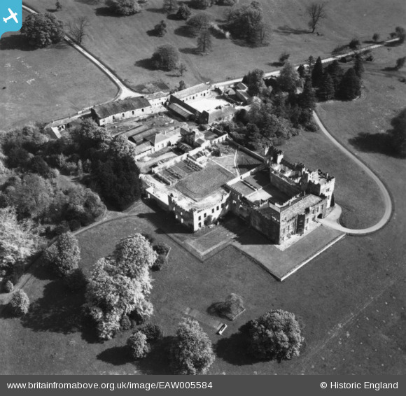
EAW005584 ENGLAND (1947). Hornby Castle, Hornby, 1947. This image has been produced from a print.
© Copyright OpenStreetMap contributors and licensed by the OpenStreetMap Foundation. 2024. Cartography is licensed as CC BY-SA.
Nearby Images (13)
EAW005584

EAW005582

EAW013867

EAW013864

EAW013865

EAW005580

EAW013868

EAW013866

EAW005579

EAW005583

EAW013869

EAW013870

EAW005581

Details
| Title | [EAW005584] Hornby Castle, Hornby, 1947. This image has been produced from a print. |
| Reference | EAW005584 |
| Date | 17-May-1947 |
| Link | |
| Place name | HORNBY |
| Parish | HORNBY |
| District | |
| Country | ENGLAND |
| Easting / Northing | 422549, 493751 |
| Longitude / Latitude | -1.6531453523001, 54.338665676576 |
| National Grid Reference | SE225938 |
Pins
Be the first to add a comment to this image!


