
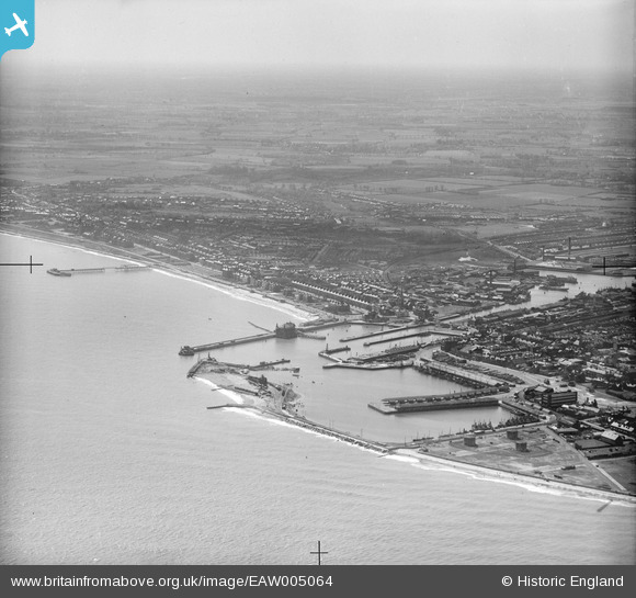
EAW005064 ENGLAND (1947). The Outer Harbour, Waveney Dock, Hamilton Dock and environs, Lowestoft, from the north-east, 1947
© Copyright OpenStreetMap contributors and licensed by the OpenStreetMap Foundation. 2024. Cartography is licensed as CC BY-SA.
Nearby Images (9)
EAW005064

EAW047642

EAW031907

EAW047638

EAR032727

EAW005063

EPW021252

EAW025476

EAW052978

Details
| Title | [EAW005064] The Outer Harbour, Waveney Dock, Hamilton Dock and environs, Lowestoft, from the north-east, 1947 |
| Reference | EAW005064 |
| Date | 11-May-1947 |
| Link | |
| Place name | LOWESTOFT |
| Parish | |
| District | |
| Country | ENGLAND |
| Easting / Northing | 655159, 292791 |
| Longitude / Latitude | 1.7575499423596, 52.472925243866 |
| National Grid Reference | TM552928 |
Pins
Be the first to add a comment to this image!


