
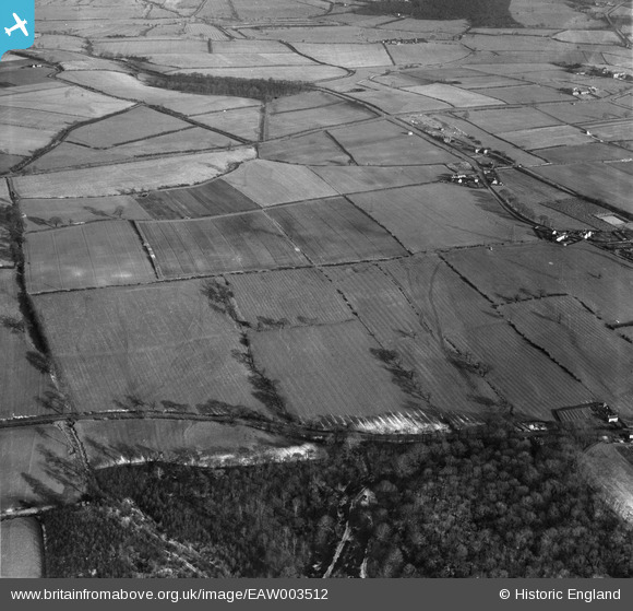
EAW003512 ENGLAND (1947). Fields between Cotworth Lane and Stubbin Lane, Hoober, 1947
© Copyright OpenStreetMap contributors and licensed by the OpenStreetMap Foundation. 2024. Cartography is licensed as CC BY-SA.
Nearby Images (4)
EAW003512

EAW003499

EAW003511

EAW003498

Details
| Title | [EAW003512] Fields between Cotworth Lane and Stubbin Lane, Hoober, 1947 |
| Reference | EAW003512 |
| Date | 12-January-1947 |
| Link | |
| Place name | HOOBER |
| Parish | BRAMPTON BIERLOW |
| District | |
| Country | ENGLAND |
| Easting / Northing | 441558, 397624 |
| Longitude / Latitude | -1.3738167881388, 53.473452462157 |
| National Grid Reference | SK416976 |
Pins
Be the first to add a comment to this image!


