
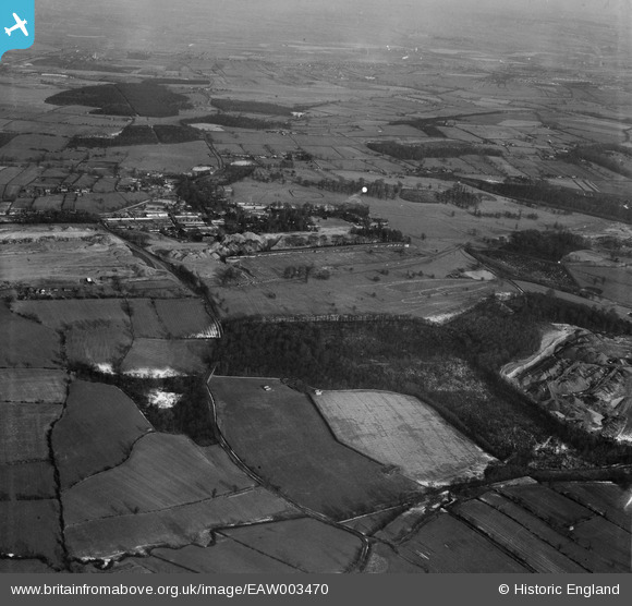
EAW003470 ENGLAND (1947). Wentworth Park and surrounding countryside, Wentworth, 1947
© Copyright OpenStreetMap contributors and licensed by the OpenStreetMap Foundation. 2024. Cartography is licensed as CC BY-SA.
Nearby Images (2)
EAW003470

EAW003478

Details
| Title | [EAW003470] Wentworth Park and surrounding countryside, Wentworth, 1947 |
| Reference | EAW003470 |
| Date | 12-January-1947 |
| Link | |
| Place name | WENTWORTH |
| Parish | WENTWORTH |
| District | |
| Country | ENGLAND |
| Easting / Northing | 439197, 397359 |
| Longitude / Latitude | -1.409422547762, 53.471251470316 |
| National Grid Reference | SK392974 |
Pins
 redmist |
Monday 5th of November 2018 09:58:10 PM | |
chiffchaffbirdy |
Monday 28th of November 2016 04:20:51 PM | |
chiffchaffbirdy |
Monday 28th of November 2016 04:18:59 PM |


