
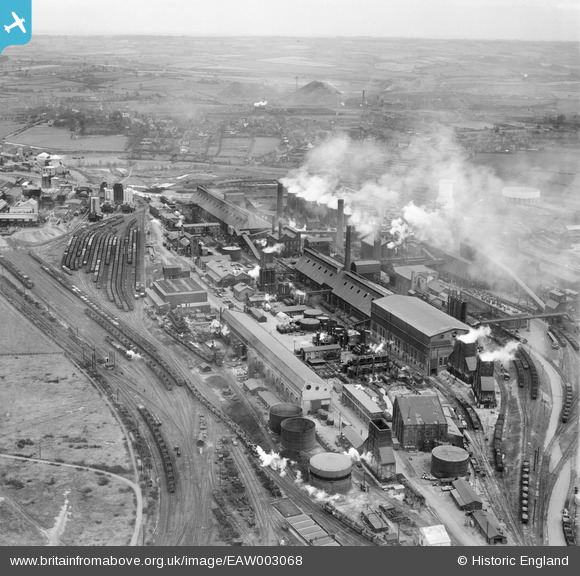
EAW003068 ENGLAND (1946). The Devonshire Works and environs, Staveley, from the north-west, 1946
© Copyright OpenStreetMap contributors and licensed by the OpenStreetMap Foundation. 2024. Cartography is licensed as CC BY-SA.
Nearby Images (7)
EAW003068

EPW057354

EPW041673

EPW041682

EPW041677

EAW003066

EPW041679

Details
| Title | [EAW003068] The Devonshire Works and environs, Staveley, from the north-west, 1946 |
| Reference | EAW003068 |
| Date | 8-October-1946 |
| Link | |
| Place name | STAVELEY |
| Parish | STAVELEY |
| District | |
| Country | ENGLAND |
| Easting / Northing | 442114, 375035 |
| Longitude / Latitude | -1.3684504632925, 53.270353363488 |
| National Grid Reference | SK421750 |
Pins
Be the first to add a comment to this image!


