
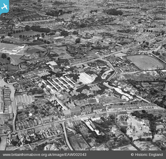
EAW002043 ENGLAND (1946). Douglas (Kingswood) Ltd Engineering Works, Kingswood, 1946
© Copyright OpenStreetMap contributors and licensed by the OpenStreetMap Foundation. 2024. Cartography is licensed as CC BY-SA.
Nearby Images (21)
EAW002043
 Ltd Engineering Works, Kingswood, 1946")
EPW016942

EPW016946

EPW016948

EAW002042
 Ltd Motorcycle Factory and Sports Ground and the town, Kingswood, 1946")
EPW016945

EAW002041
 Ltd Motorcycle Factory and Sports Ground and the town, Kingswood, 1946")
EAW002037
 Ltd Motorcycle Factory and environs, Kingswood, 1946")
EAW002038
 Ltd Motorcycle Factory and environs, Kingswood, 1946")
EAW002034
 Ltd Motorcycle Factory, Kingswood, 1946")
EAW002035
 Ltd Motorcycle Factory and environs, Kingswood, 1946")
EAW002036
 Ltd Motorcycle Factory and Sports Ground and the town, Kingswood, 1946")
EPW016947

EAW002033
 Ltd Motorcycle Factory and Sports Ground, Kingswood, 1946")
EAW002040
 Ltd Motorcycle Factory and Sports Ground, Kingswood, 1946")
EPW016944

EAW002039
 Ltd Motorcycle Factory and environs, Kingswood, 1946")
EPW016943

EAW040814

EAW040815

EAW040810

Details
| Title | [EAW002043] Douglas (Kingswood) Ltd Engineering Works, Kingswood, 1946 |
| Reference | EAW002043 |
| Date | 31-July-1946 |
| Link | |
| Place name | KINGSWOOD |
| Parish | |
| District | |
| Country | ENGLAND |
| Easting / Northing | 364624, 173274 |
| Longitude / Latitude | -2.5092167641151, 51.456849581959 |
| National Grid Reference | ST646733 |
Pins
 Matt Aldred edob.mattaldred.com |
Saturday 19th of March 2022 08:55:06 PM | |
 totoro |
Monday 4th of November 2013 09:41:15 PM | |
totoro |
Monday 4th of November 2013 09:35:40 PM | |
totoro |
Monday 4th of November 2013 09:35:14 PM | |
totoro |
Monday 4th of November 2013 09:33:39 PM | |
totoro |
Monday 4th of November 2013 09:30:52 PM | |
totoro |
Monday 4th of November 2013 09:30:22 PM | |
totoro |
Monday 4th of November 2013 09:30:06 PM |


