
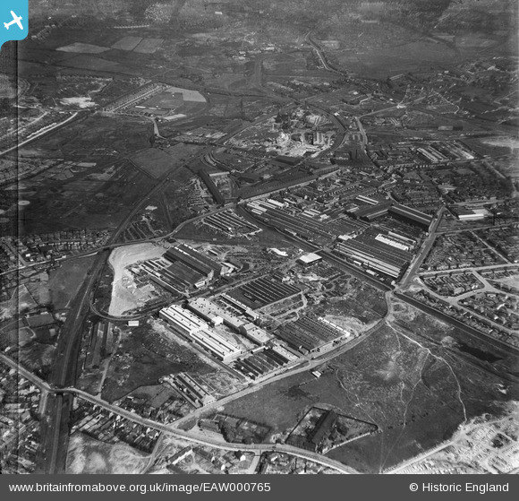
EAW000765 ENGLAND (1946). The Rubery, Owen & Co Ltd Works, Willenhall, 1946
© Copyright OpenStreetMap contributors and licensed by the OpenStreetMap Foundation. 2024. Cartography is licensed as CC BY-SA.
Nearby Images (14)
EAW000765

EAW000762

EAW047005

EAW047003

EAW000766

EAW000763

EAW047006

EAW000768

EAW047004

EAW047008

EAW000764

EAW047010

EAW047007

EAW000767

Details
| Title | [EAW000765] The Rubery, Owen & Co Ltd Works, Willenhall, 1946 |
| Reference | EAW000765 |
| Date | 11-May-1946 |
| Link | |
| Place name | WILLENHALL |
| Parish | |
| District | |
| Country | ENGLAND |
| Easting / Northing | 397563, 297926 |
| Longitude / Latitude | -2.0359677508154, 52.578784816997 |
| National Grid Reference | SO976979 |
Pins
 redmist |
Wednesday 12th of October 2022 01:20:12 PM | |
redmist |
Wednesday 12th of October 2022 01:17:49 PM | |
robtew |
Wednesday 12th of November 2014 11:08:50 AM | |
 Class31 |
Monday 17th of March 2014 11:24:45 PM | |
Class31 |
Monday 17th of March 2014 11:24:04 PM | |
Class31 |
Monday 17th of March 2014 11:23:31 PM | |
Class31 |
Monday 17th of March 2014 11:23:00 PM | |
Class31 |
Monday 17th of March 2014 11:12:41 PM | |
Class31 |
Monday 17th of March 2014 11:11:51 PM | |
Class31 |
Monday 17th of March 2014 11:11:26 PM | |
Class31 |
Monday 17th of March 2014 11:11:01 PM |


