
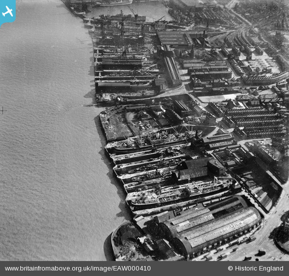
EAW000410 ENGLAND (1946). Woodside Station and the Grayson, Rollo and Clover Docks, Birkenhead, 1946
© Copyright OpenStreetMap contributors and licensed by the OpenStreetMap Foundation. 2024. Cartography is licensed as CC BY-SA.
Nearby Images (33)
EAW000410

EAW008658

EAW008565

EAW008663

EAW003746

EAW008719

EAW008657

EAW008560

EAW008564

EAW008660

EAW008563

EAW008661

EAW008665

EAW000415

EAW000416

EAW008561

EAW008662

EAW008718

EAW003741

EAW008666

EAW000411

EAW008659

EAW008664

EAW003742

EAW008562

EAW001719

EAW000413

EAW003744

EAW000414

EAW003745

EAW003740

EAW000412

EAW001807

Details
| Title | [EAW000410] Woodside Station and the Grayson, Rollo and Clover Docks, Birkenhead, 1946 |
| Reference | EAW000410 |
| Date | 18-April-1946 |
| Link | |
| Place name | BIRKENHEAD |
| Parish | |
| District | |
| Country | ENGLAND |
| Easting / Northing | 332965, 388870 |
| Longitude / Latitude | -3.0081460237441, 53.392142326971 |
| National Grid Reference | SJ330889 |
Pins
 ap493 |
Friday 29th of December 2023 01:24:59 PM | |
gBr |
Sunday 3rd of August 2014 07:40:42 PM | |
Pete65 |
Monday 14th of October 2013 11:44:33 AM |


