
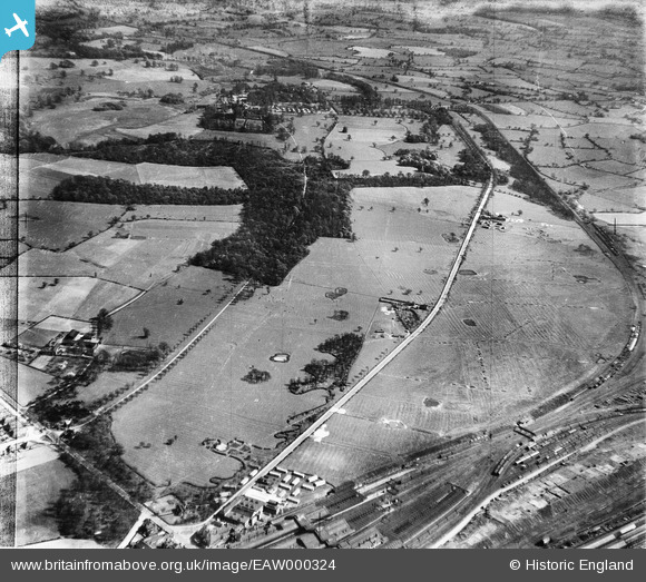
EAW000324 ENGLAND (1946). Crewe Park and environs, Crewe, 1946
© Copyright OpenStreetMap contributors and licensed by the OpenStreetMap Foundation. 2024. Cartography is licensed as CC BY-SA.
Nearby Images (2)
EAW000324

EAW017290

Details
| Title | [EAW000324] Crewe Park and environs, Crewe, 1946 |
| Reference | EAW000324 |
| Date | 19-April-1946 |
| Link | |
| Place name | CREWE |
| Parish | |
| District | |
| Country | ENGLAND |
| Easting / Northing | 371860, 354384 |
| Longitude / Latitude | -2.4201825075087, 53.085632649852 |
| National Grid Reference | SJ719544 |
Pins
 Matt Aldred edob.mattaldred.com |
Sunday 10th of March 2024 11:04:12 AM | |
Matt Aldred edob.mattaldred.com |
Friday 26th of February 2021 05:50:51 PM | |
 Sparky |
Saturday 4th of November 2017 12:19:50 PM | |
SteveB |
Friday 23rd of August 2013 06:11:43 PM | |
SteveB |
Friday 23rd of August 2013 06:11:00 PM |


